|
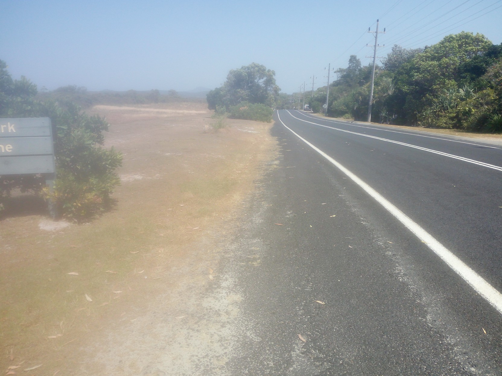
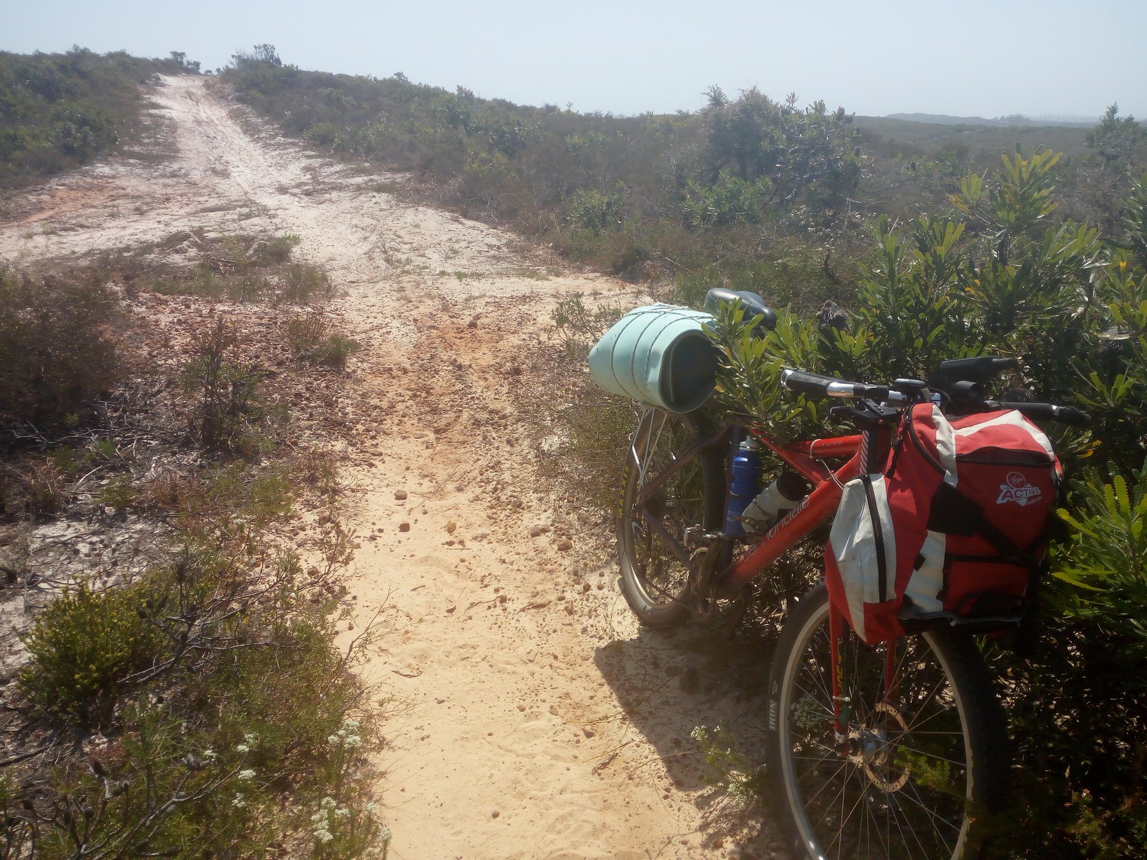
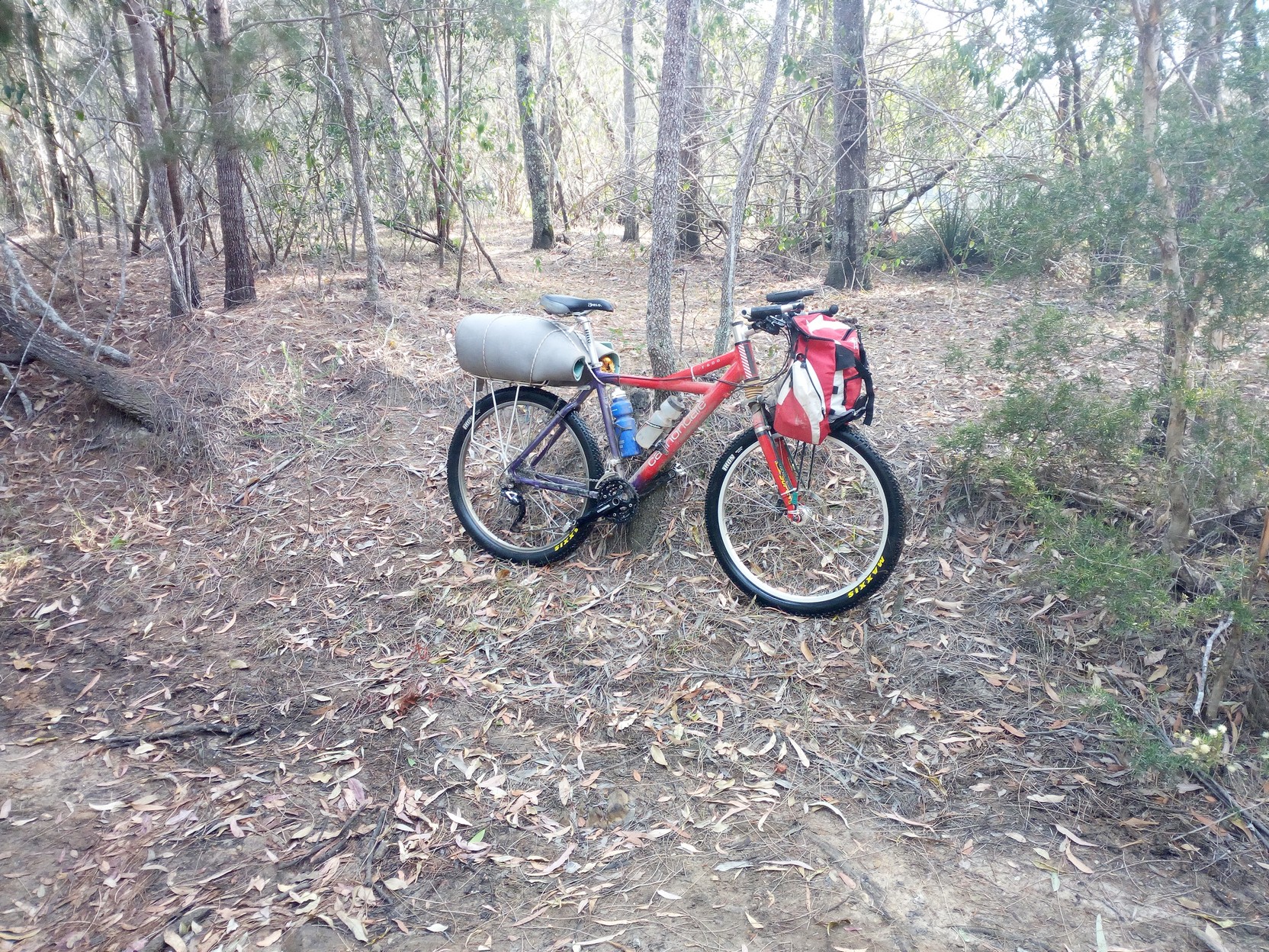
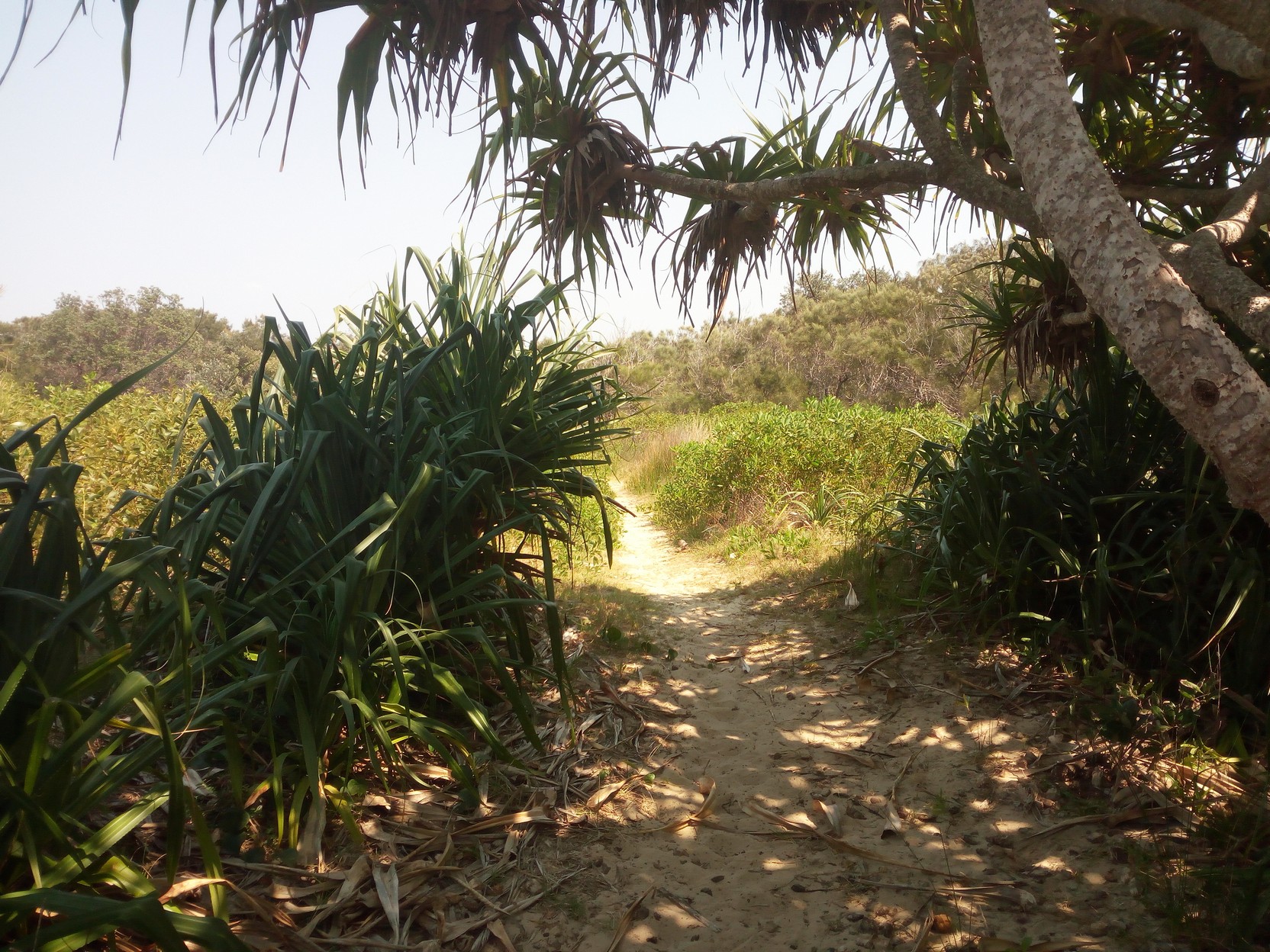
If you missed it, here is the first section, otherwise keep reading as I start out on my journey south from Wooloweyah (just south of Yamba). And the [introduction]. Wooloweyah to Brooms HeadSo I've made it to a track off Pegus Drive in Wooloweyah on the edge of Yuraygir National Park which is just a few minutes south of Yamba. It was actually a bit hard to find the track - it was "hidden" at the side of a playground, and at first glance it looked like it was just a sandy walking track. [my apologies for the quality of the photos - the moisture behind the lens still hadn't dissipated]. Well, in fact the track was exactly that, a very sandy walking track. It was also not exactly the level surface I had become used to. This was soft/loose sand and my 2.2" MAXXIS Icons on narrow rims pumped up to over 35 PSI just didn't work. I considered lowering the tyre pressure, but I needed to see how I fared before potentially wasting a lot of time experimenting (something I wanted to do, but I wasn't sure if there'd be a payoff).
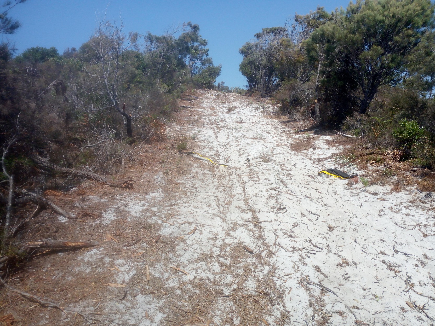
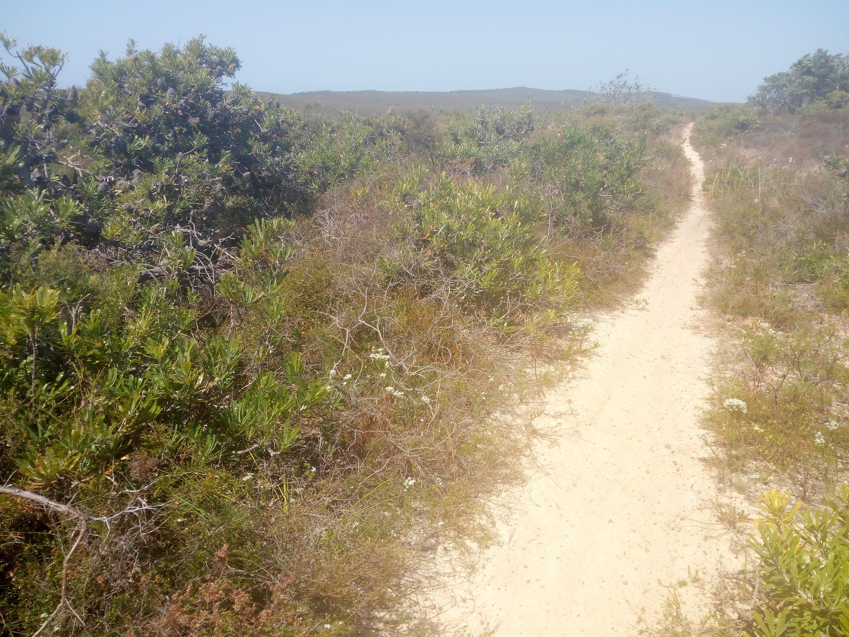
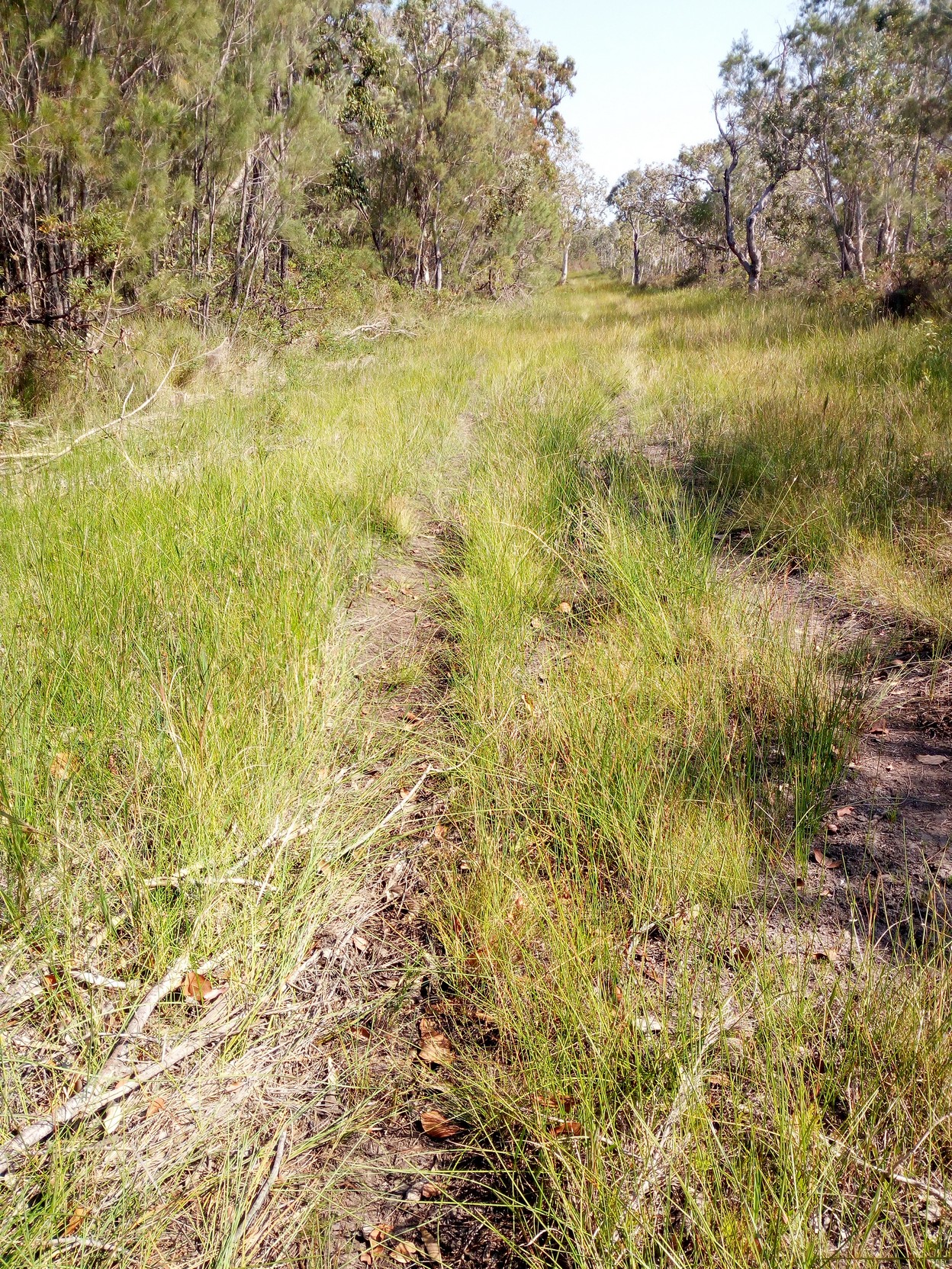
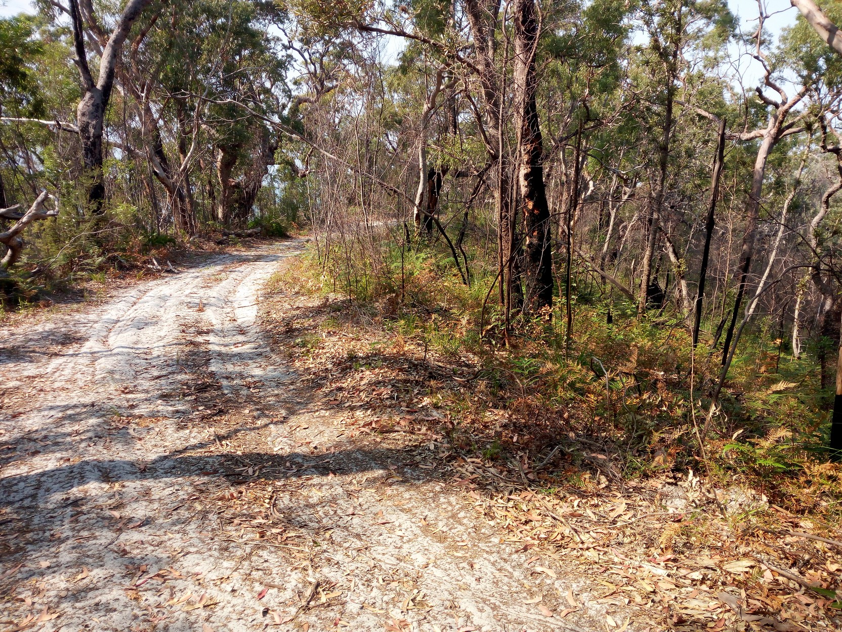
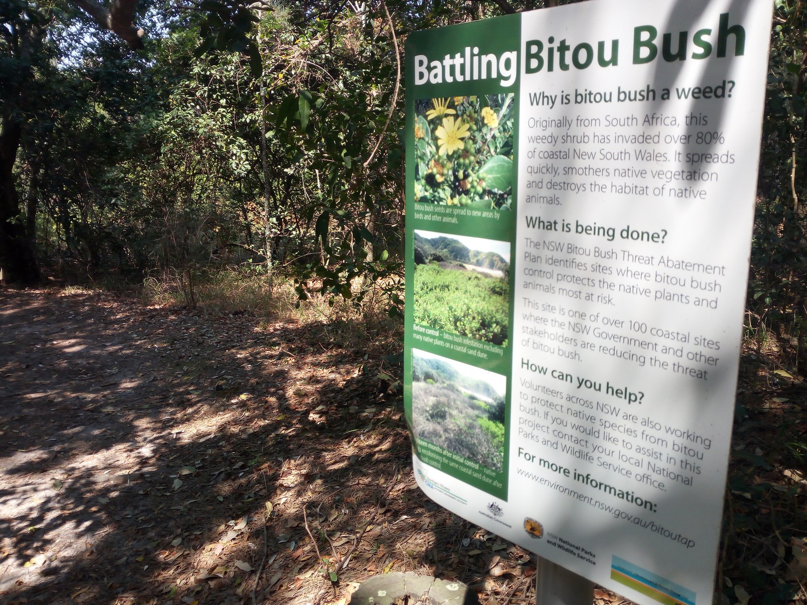
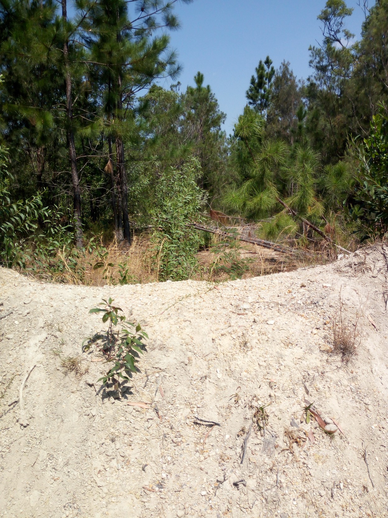
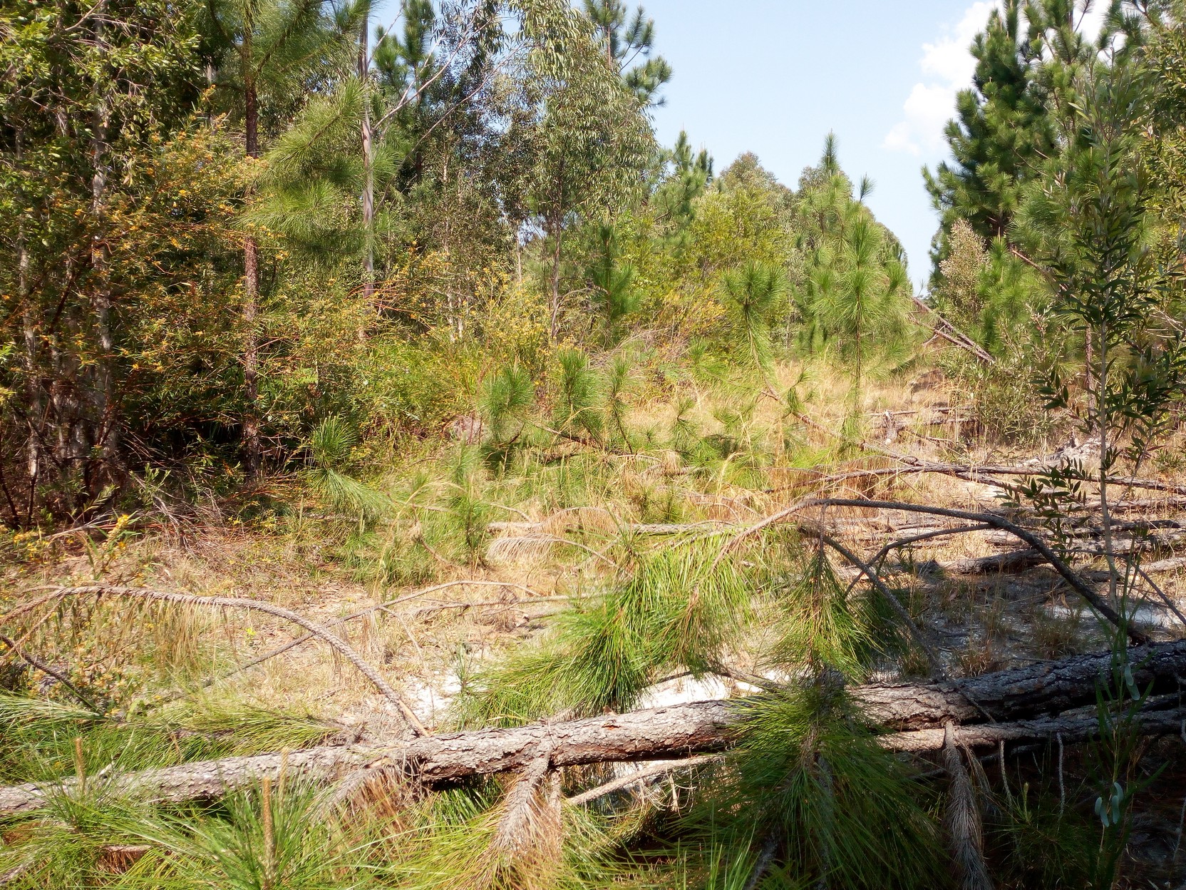
You can also see that my cycle shoes filled with the sand - hot sand in fact (did I mention yet that it was hot for this time of the year?) For a very short section of track I'm tricked into thinking I've reached the end of the sand, but it is to continue for a total of around 5.5 km before it goes back to a clay based surface with just the occasional bit of white sand. You can also see that it's a kind of heath environment - prostrate shrubs made up of coarse leafed very drought tolerant species.
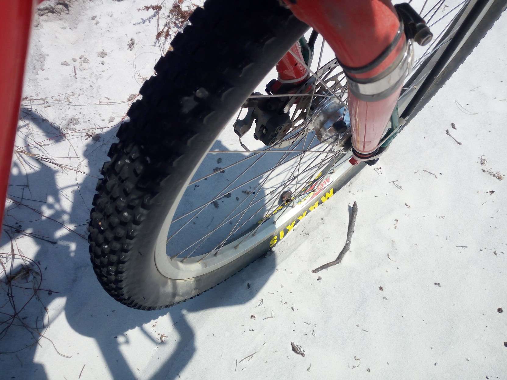
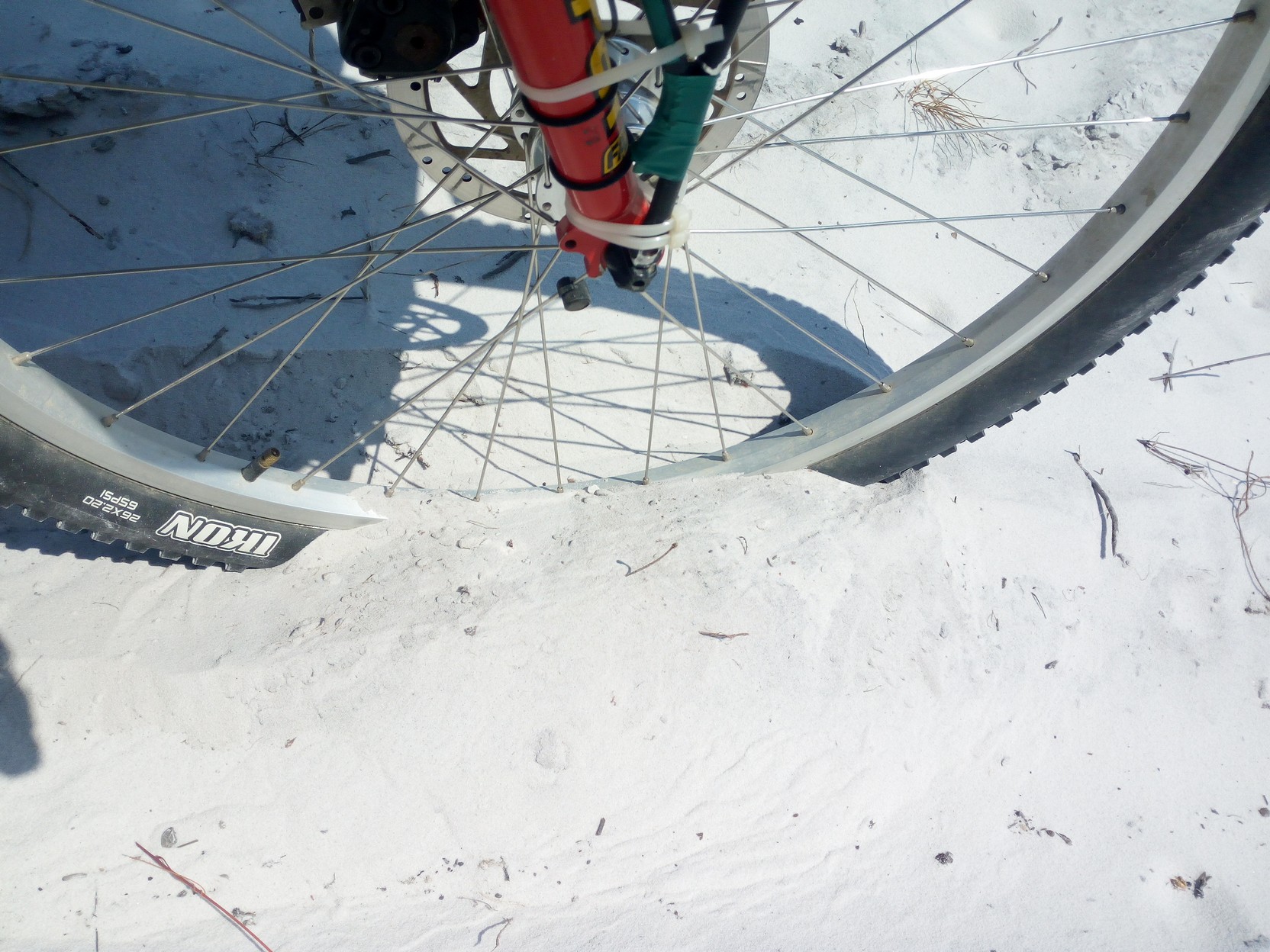
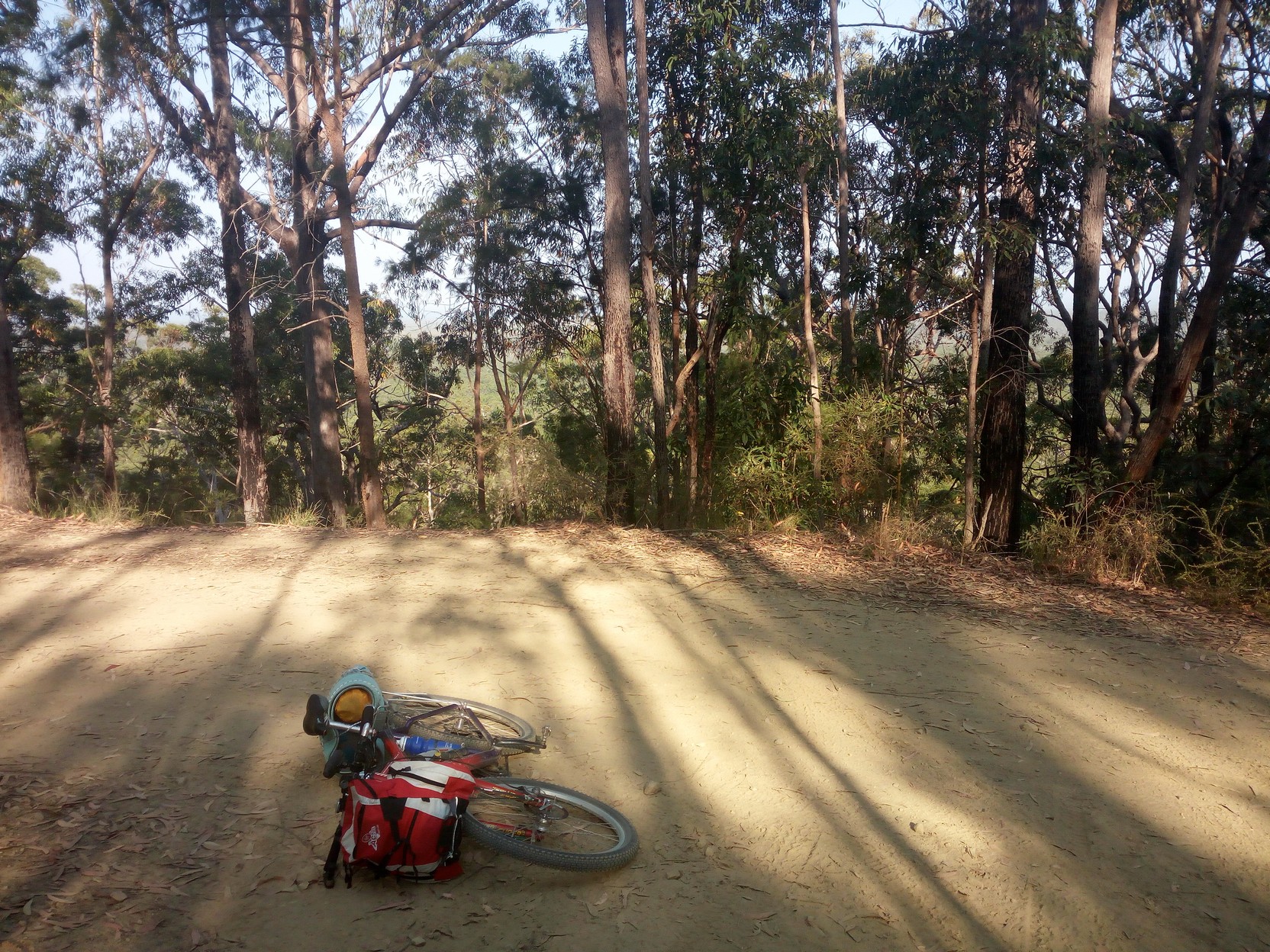
In retrospect, this wasn't a very difficult bit of sand - at the time I thought it was, but tomorrow would prove me wrong! The last 1km was the most difficult because the sand was the softest as well as it being rather hilly (honest, the sand really did flow over the bike rim as pictured below!). But I came to the end soon at about 1:00PM (so 90 minutes for 5.5 km, and much of it was trudging through the sand), and I could get out my lunch and eat my fish burger in the shade of a stand of low trees on the quite pronounced edge of the sand hills. But now I was starting on a power-line trail that followed the hills rather than the natural contours. This regime didn't last long either [at least the moisture had evaporated from the in-side of my camera lens by now]...
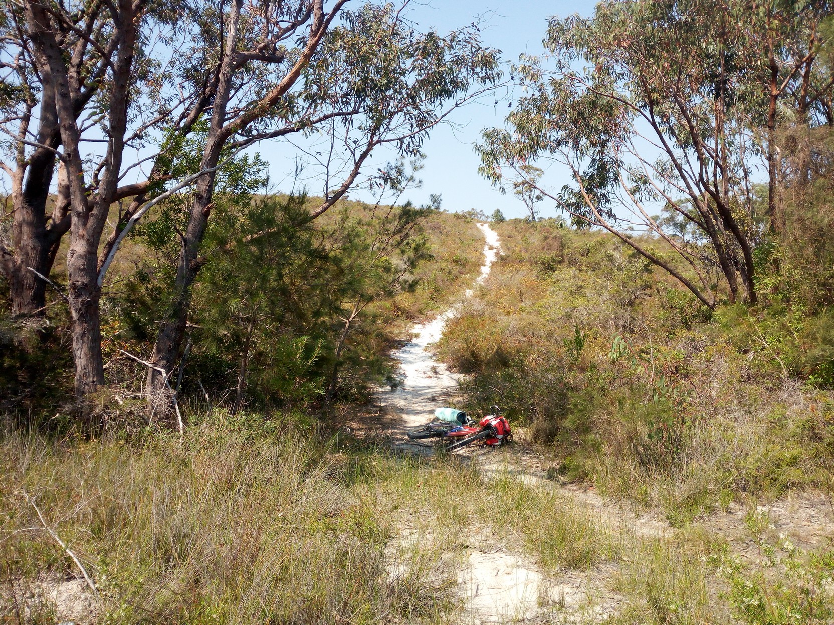
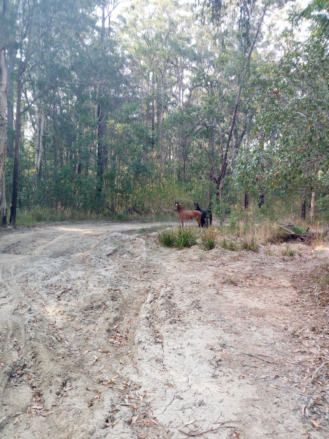
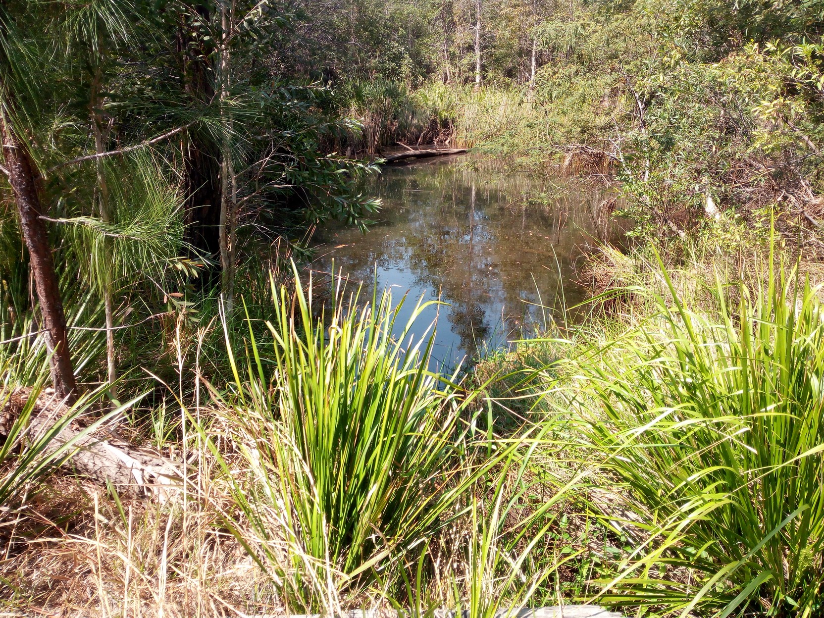
Since Yamba I had slowly risen while cycling south. The last two and a half km (from the turn south onto the power-line trail) was along Bees Nest West Trail. Just as I turn left onto Bees Nest East Trail, I descend back to the coastal swale between the current coast and a previous coast many thousands of years previously. The track has evidence of wild pigs wallowing in muddy sections (several months ago, as it's now pretty dry) and on the lowest parts of the track closer to Lake Arragan the track is a little squishy, but not wet-muddy. The track I'm on comes back to meet Bees Nest West Trail (this took a higher route, and could be an alternate route if Bees Nest East Trail is too muddy). True to the track's name, I pass some very angry bees as I cross Bees Nest Powerline Trail - I was going to take some close-up photos of the bees, but this proved unwise!
A few hundred metres later we reach the bitumen road onto Brooms Head Road, and very soon I'm shooting past my next turn to get to the shop at Brooms Head - maybe I can get some food for this evening? No luck and I arrive as another customer gets the last meat pie (to be honest, I'm not very disappointed!), but I do get a saving cappuccino and fill up my biddons from a tap across the road at the caravan park - I've recently travelled the next section (the other way) and I know there are many creek crossing (with wooden bridges) but not any drinking water (unless you were absolutely desperate). There's not a lot more to see at Brooms Head (there is a headland lookout though, further south). I head north again and pass the major eating place in town - the Bowling Club, and a few hundred metres later turn left onto Sandon River Road. |
|
|
|
|
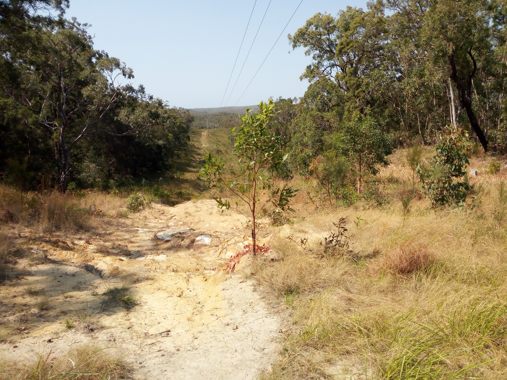
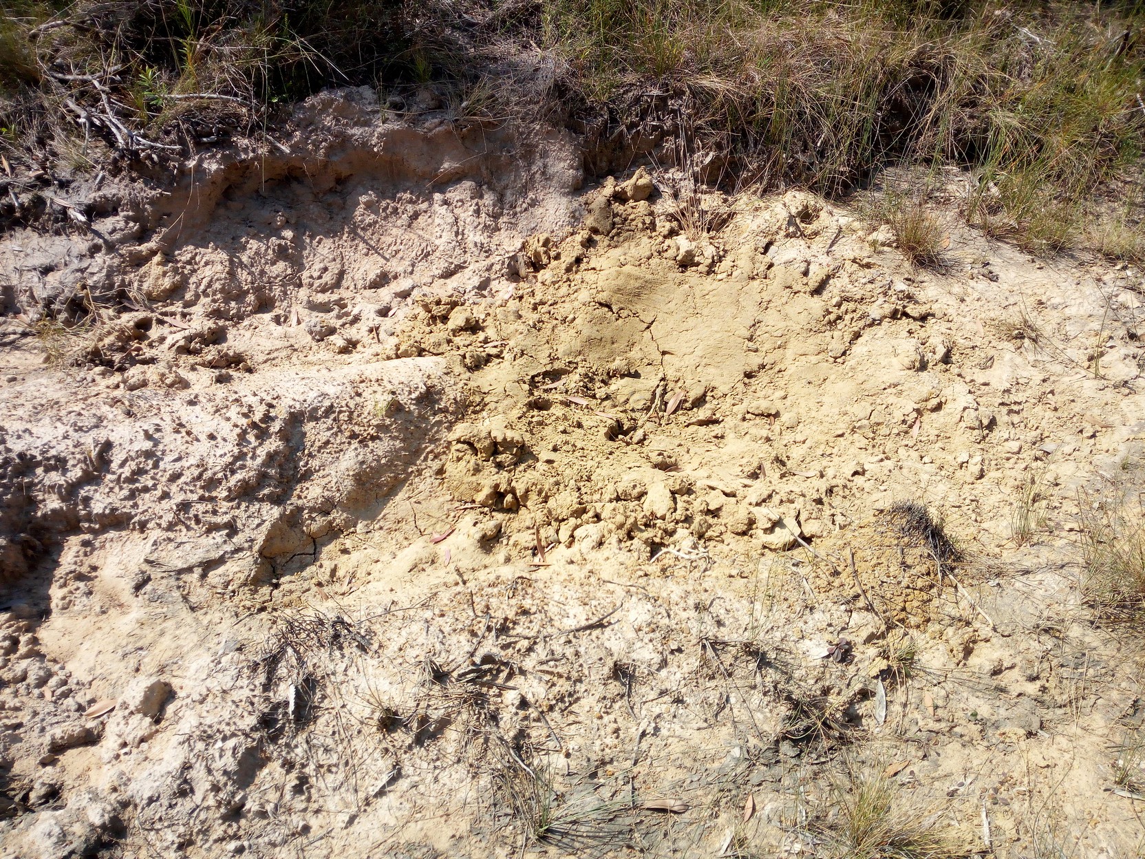
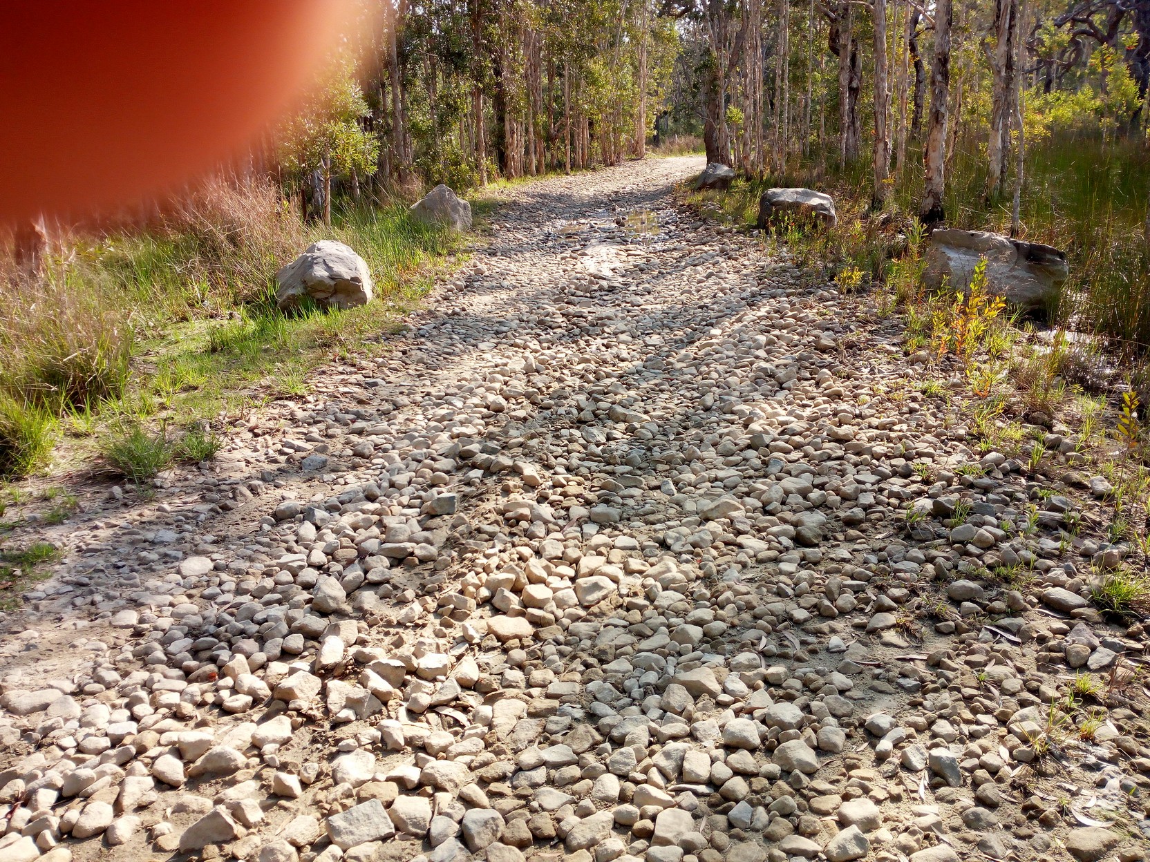
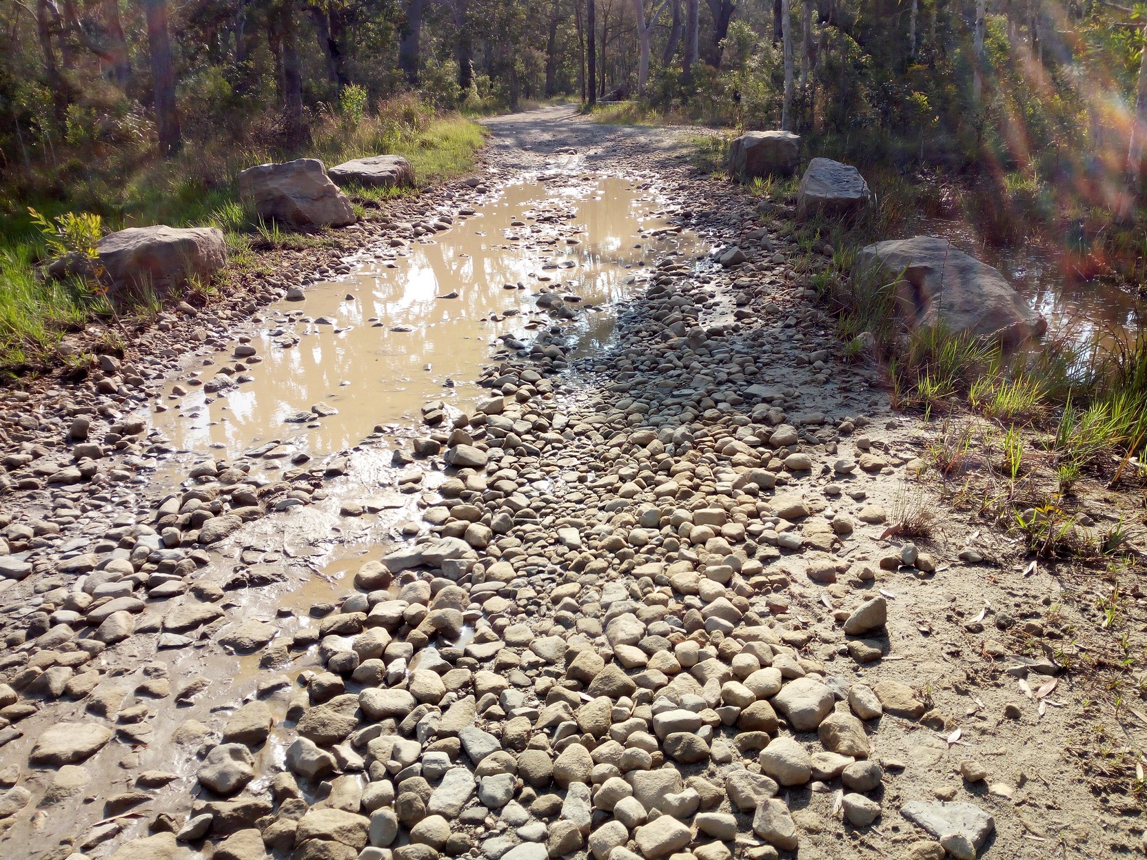
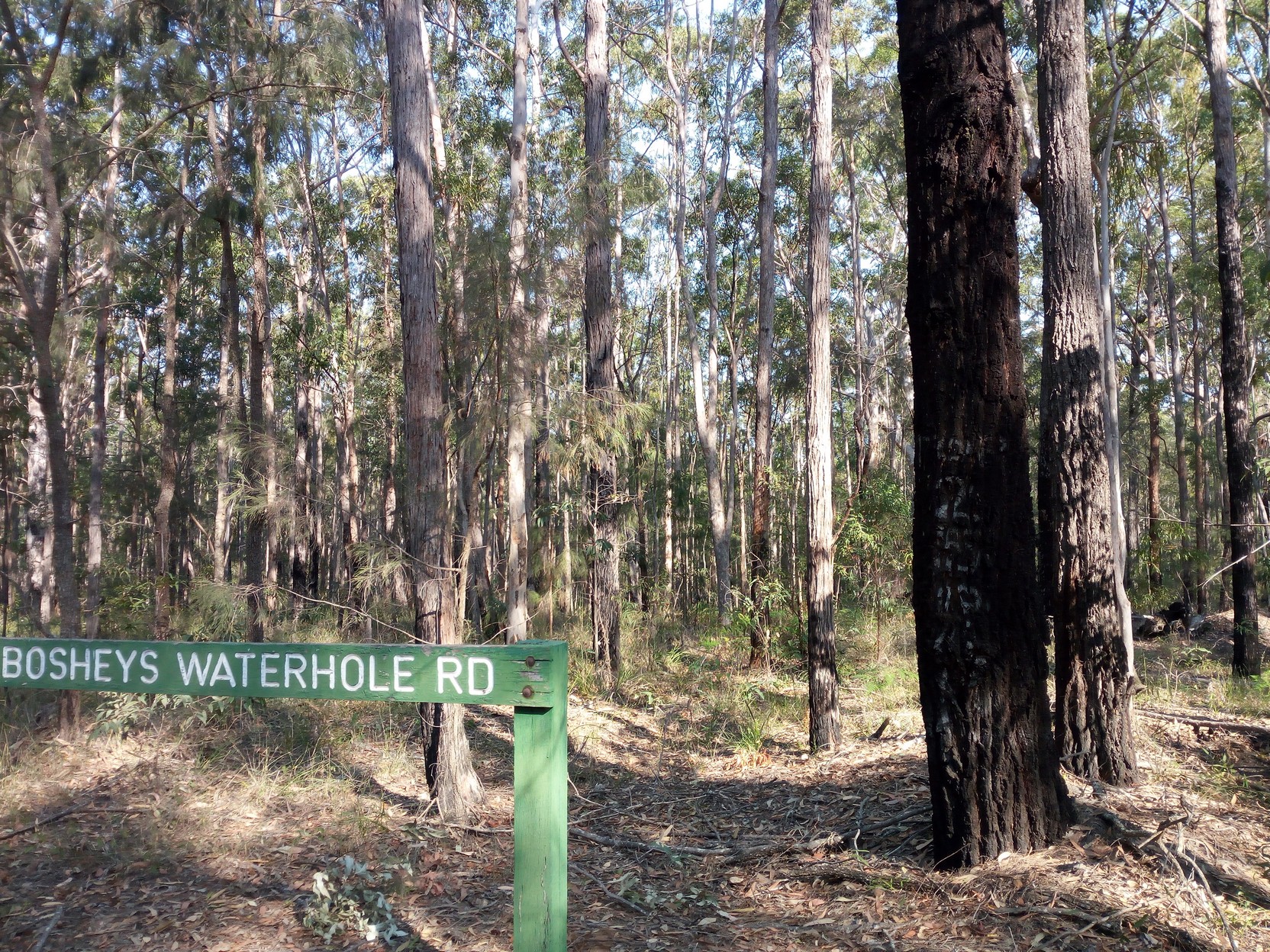
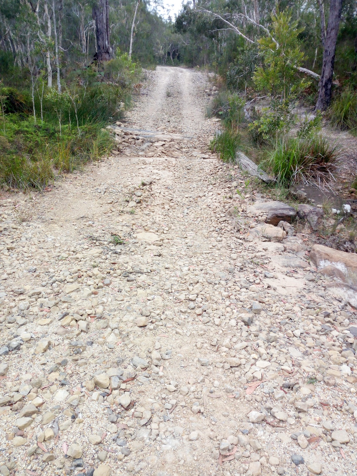
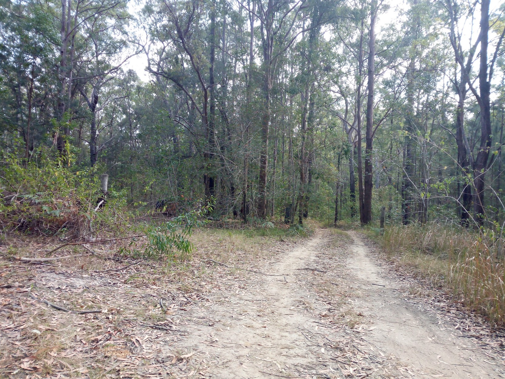
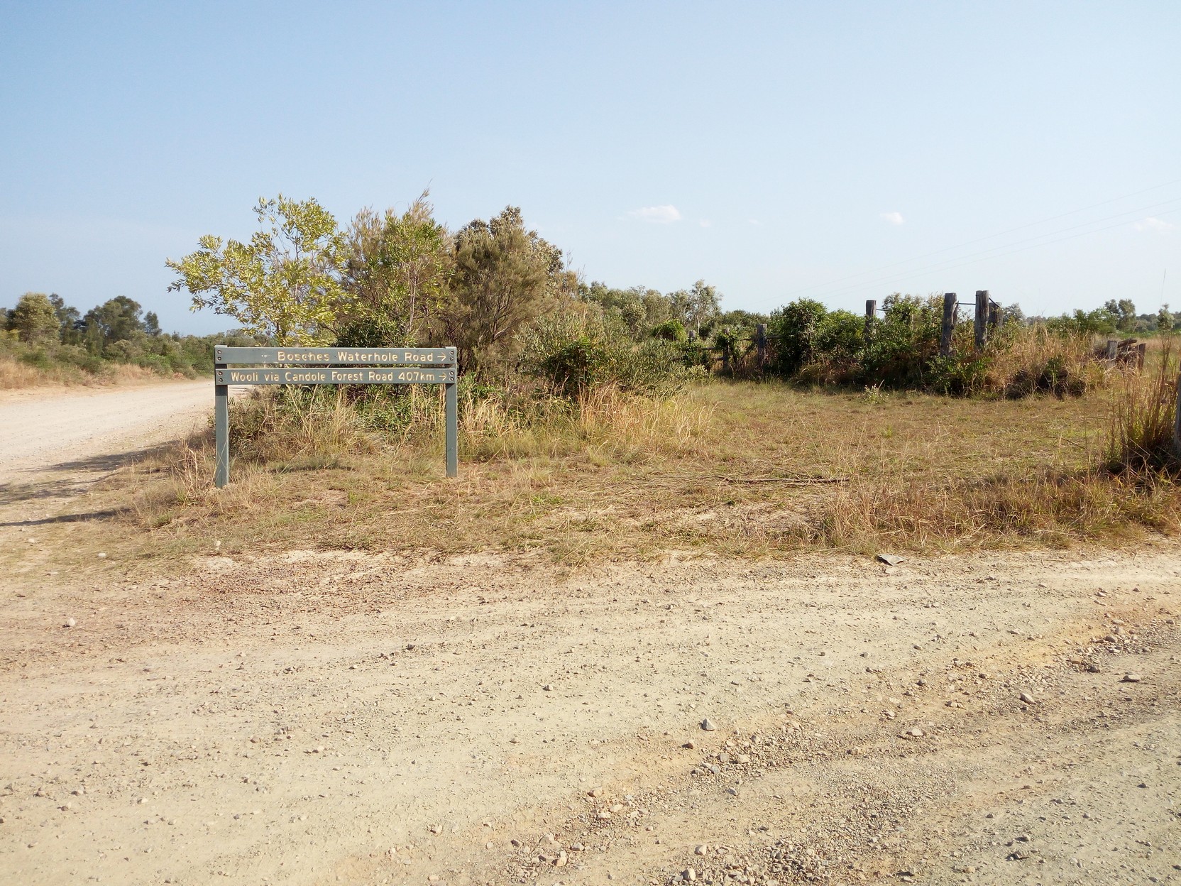
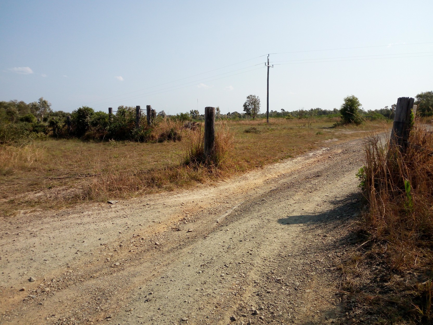
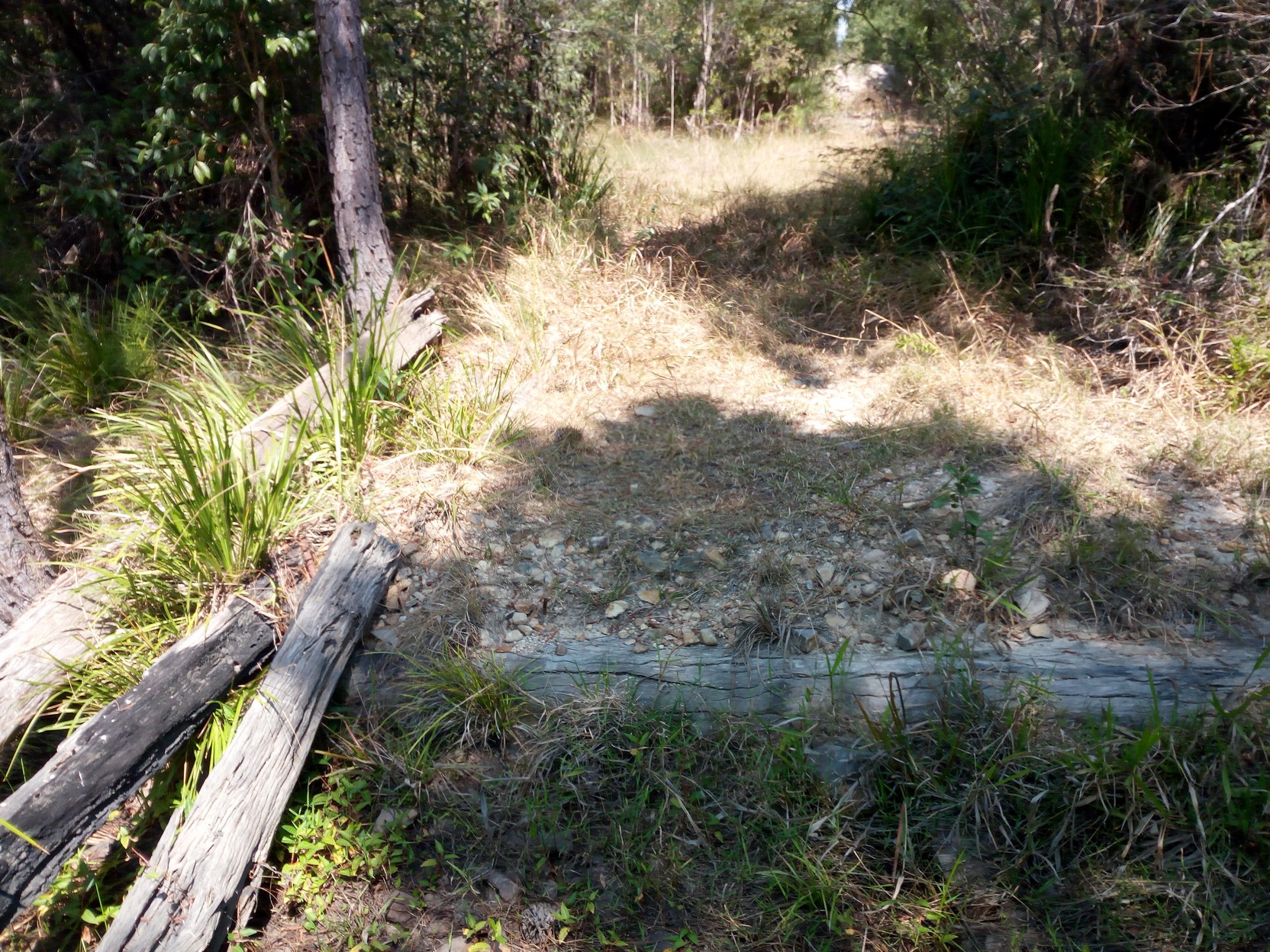
Brooms Head to Wooli Road (& camp, day two)Having left Brooms Head, I'm now on Sandon River Road which goes south but soon we turn west, for the coastal range at Bosches Waterhole Road. The track I'm following goes inland to avoid an extensive boggy area south of Brooms Head known as The Sandon, which the Sandon River drains. On my last trip through this area I discovered how boggy and confused the marked trails can be without a good map and knowledge of the good trails. If it's been wet then the actual Bosches Waterholes will require 50 m (or more) of hike-a-bike (HAB) through murky water of unknown depth - my advice is to stick to the centre of the road and step carefully - the rocks on either side of the road give you an indication of the water depth. This time I found the 0.4m deep water less than four weeks previously had turned into a shallow extended pool in both wheel tracks (this low/wet section is the major reason the road signs suggest a high clearance 4x4 vehicle is required to travel this road). Through the waterholes there's a short sandy section you may miss if you blink, but you won't miss the steep grade up to the top of the range where you meet the southerly Candole Forest Road at around 145 m elevation. If you're starting out for the day from Brooms Head then this will not be a problem, but if you arrive here after a long hot day, then you may think the next 26km to Wooli Road is a bit harder...
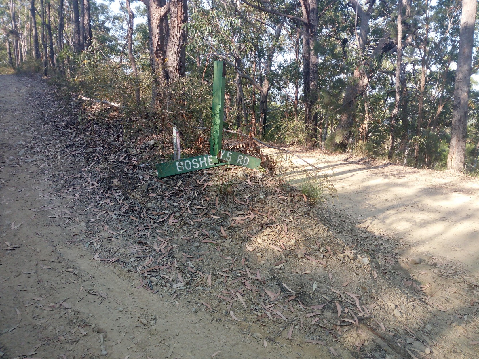
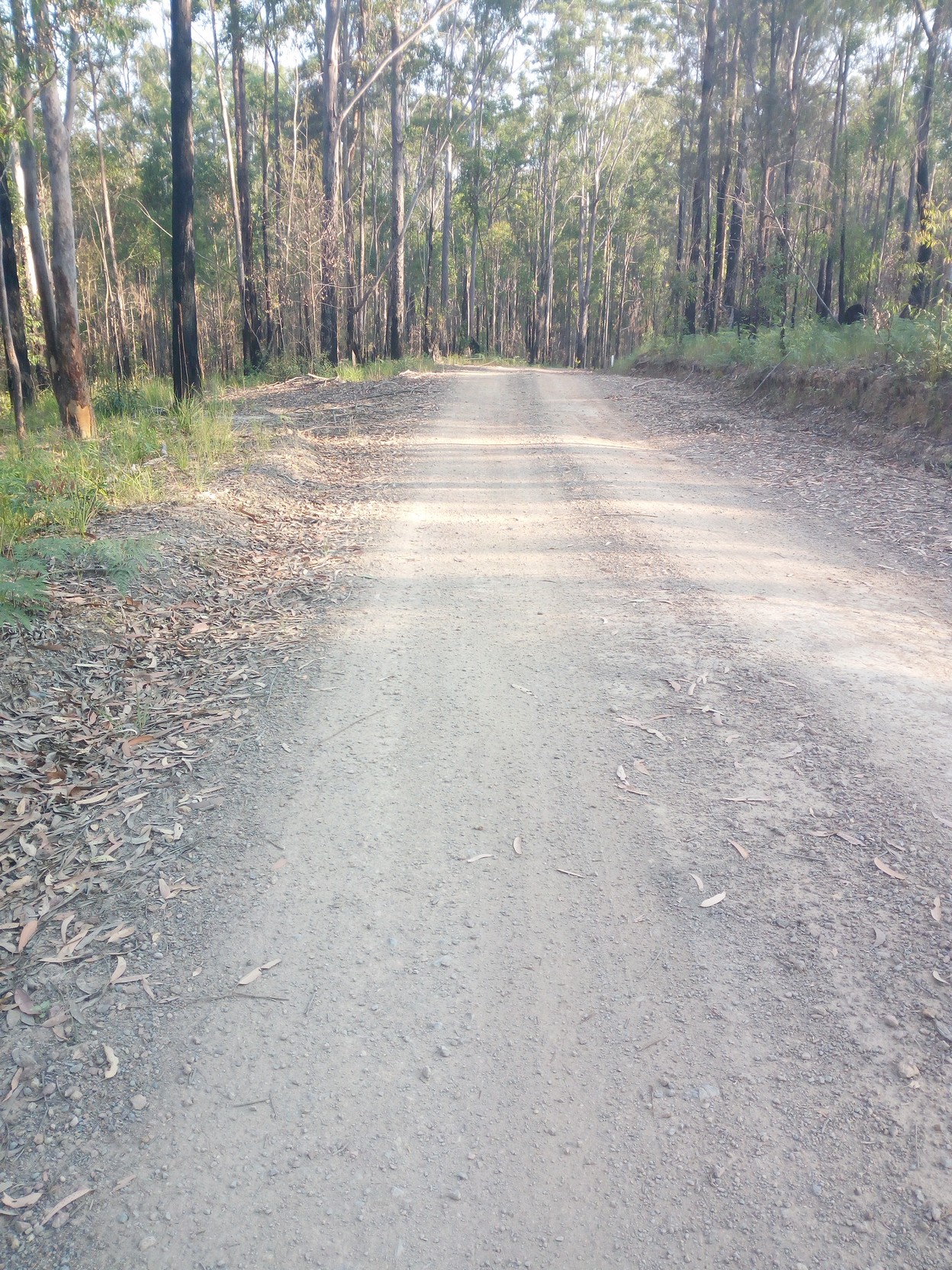
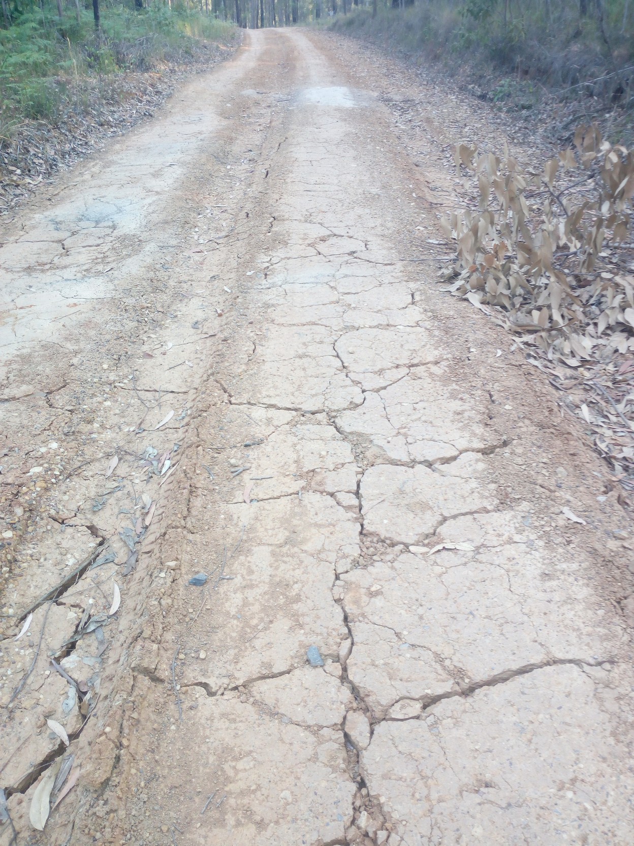
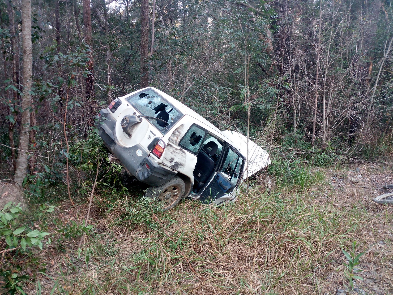
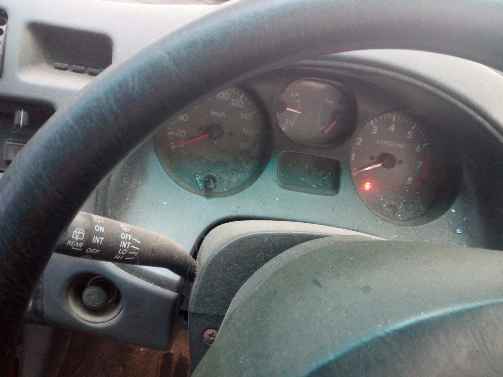
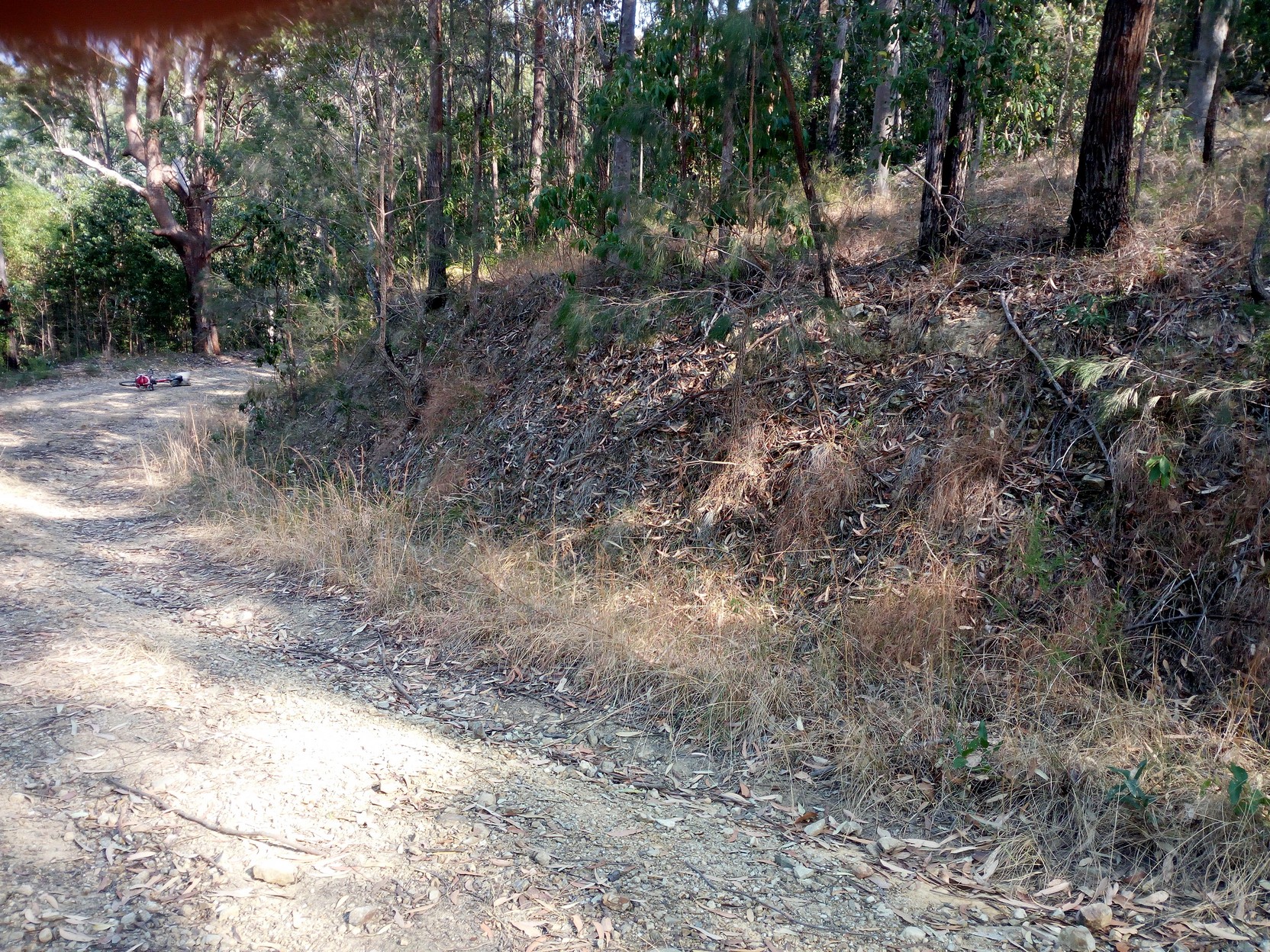
I arrived at Candole Forest Road at about 3:30 PM and I was to take almost two hours to travel the up and down route (at about 13km/h average) - even deciding to walk some sections I would normally have no trouble cycling with fresher legs. The first thing you'll notice is that the state forestry people have made a subtle name change from Bosches to the more informal Boshey's. The next is that the road is quite good (although dusty) - there are just a very few short sections where water has eroded the other wise well formed clay road surface. Unfortunately, these washouts are often in the dip at the end of a long downhill section, meaning you'll have to waste all that momentum in heating your brakes! Since my last trip I came across a 4x4 (Toyota Rav 4) that had recently been crashed at speed into the drain at the side of the road. It must have been a recent crash because the door-open light was still blazing (no-one had taken the battery yet!). Thinking about this, I have now done this section twice - both times a Sunday, and I have never seen another driver (nor cyclist), but the road is obviously well used.
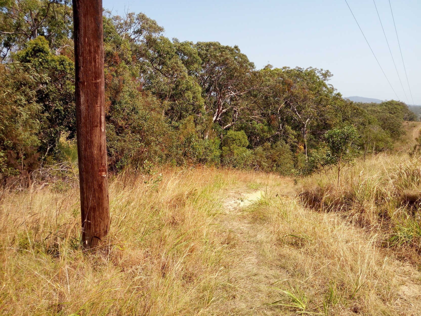
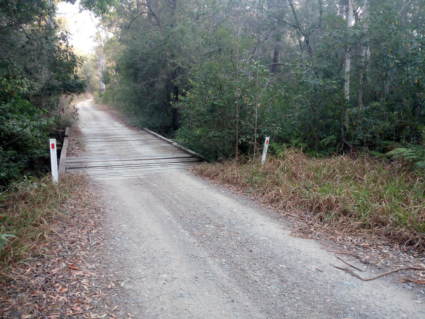
It's about 4:30 PM and I'm only half way along my 26km section to Wooli Road. Finding my energy getting lower (maybe I should have had some food at Brooms Head?), I have a couple of muesli bars and continue (have I mentioned the bars are 12 months out of date - they have never tasted better!). I'm reduced to walking up a few of the longer steep sections that I didn't notice when coming the other way!. It's hot and I realise later that I'm probably suffering from mild dehydration, and not realising it! Continuing, it's much of the same - up and down sections as the road crosses numerous small streams - at least, in the southern section of this track, they have a nice wooden bridges with just a few having a rocky crossing requiring care. I'm amused by a sign on a tree guaranteeing that mobile Telstra reception is available at the top of the short rise (I know this is the case from my previous trip, and my pre-paid Aldi-Mobile works here too!). I continue along and arrive at Wooli Road at just after 5:30 PM. I cycle back a few hundred meters off the road to a small sandy clearing as it's getting darker. I've unpacked everything before I appreciate the problem with this camping area, but I'm too buggered to think about moving, so I figure it'll be okay - it's not! I've selected a area near some trees and in an area where there are some mosquitoes and other small flying insects - these turn out to be midges and they are small enough to easily get through the fine mesh of my tiny tent. So tonight, as well as the tent dripping from condensation, I'll be bitten by these bloody creatures, kept awake by their incessant buzzing, and I'll only get some good sleep just before the sun rises. I had not thought to bring any insect repellent, thinking the tent would be adequate!
|
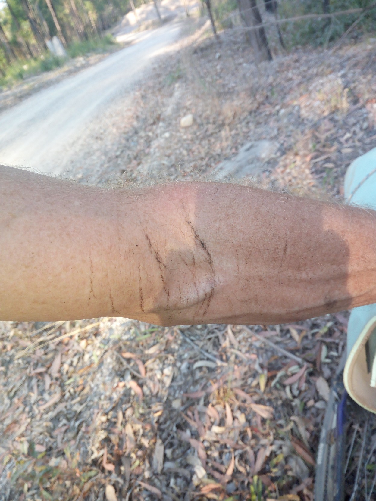
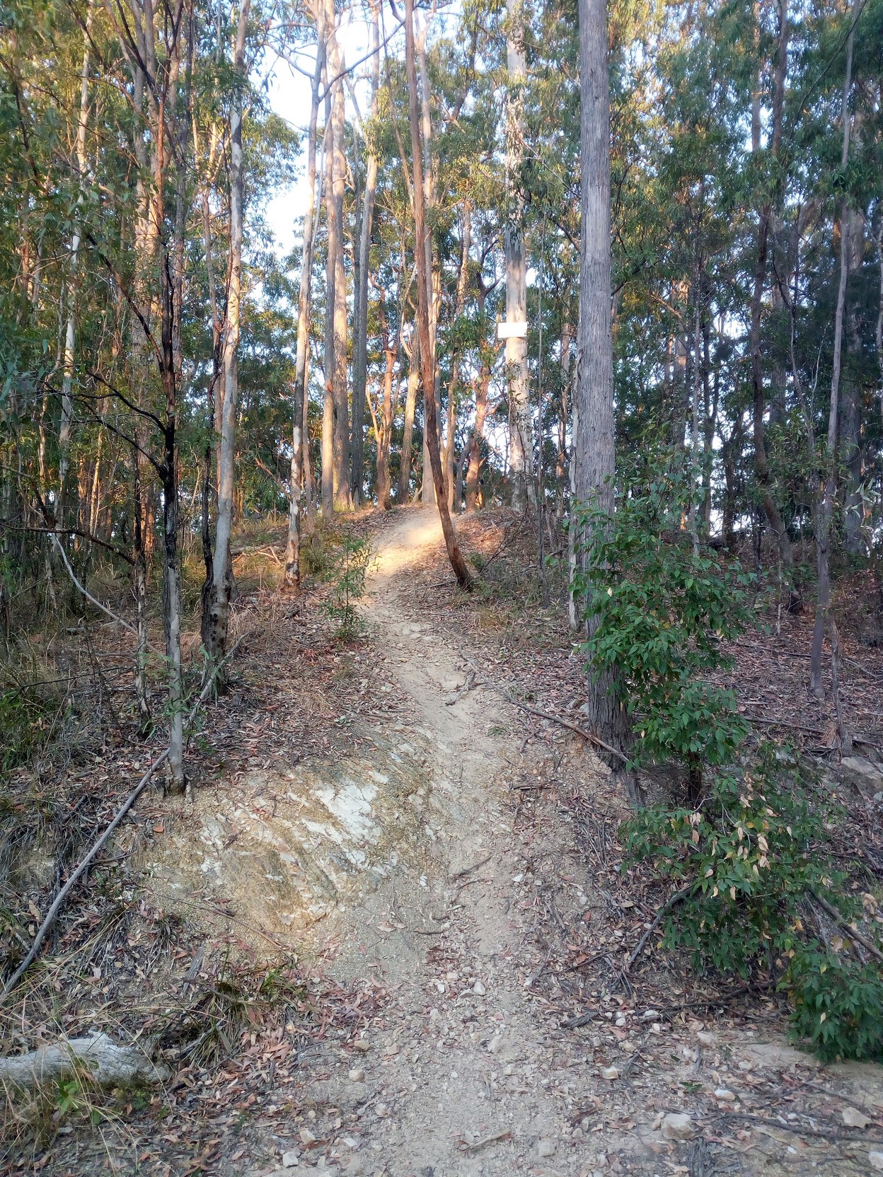
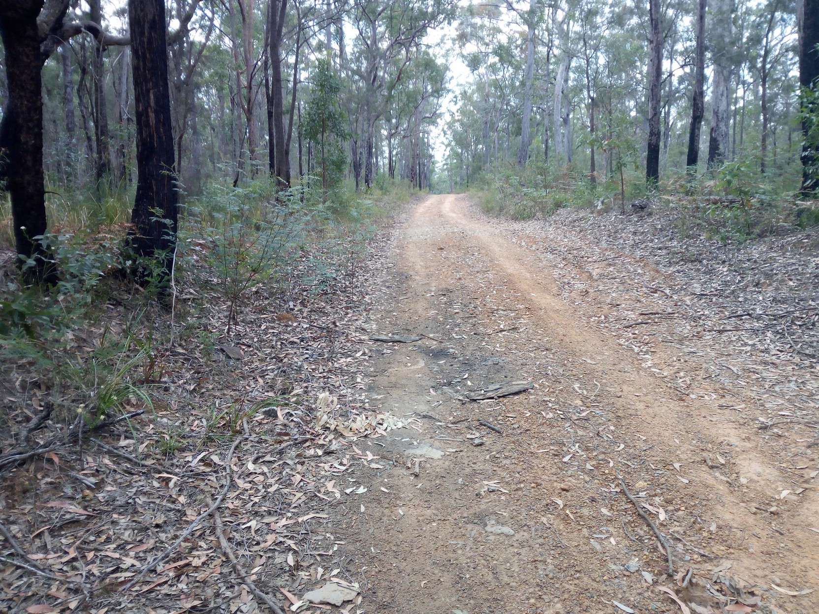
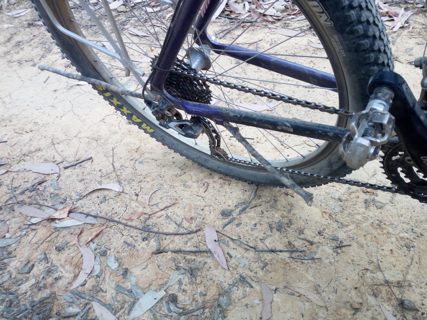
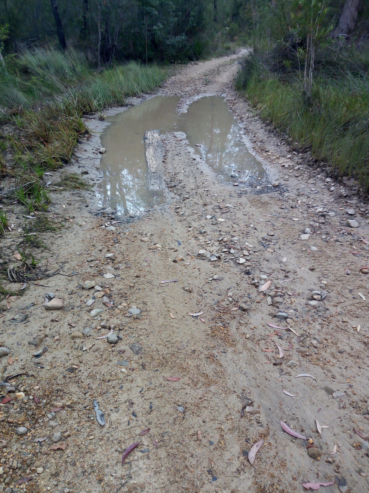
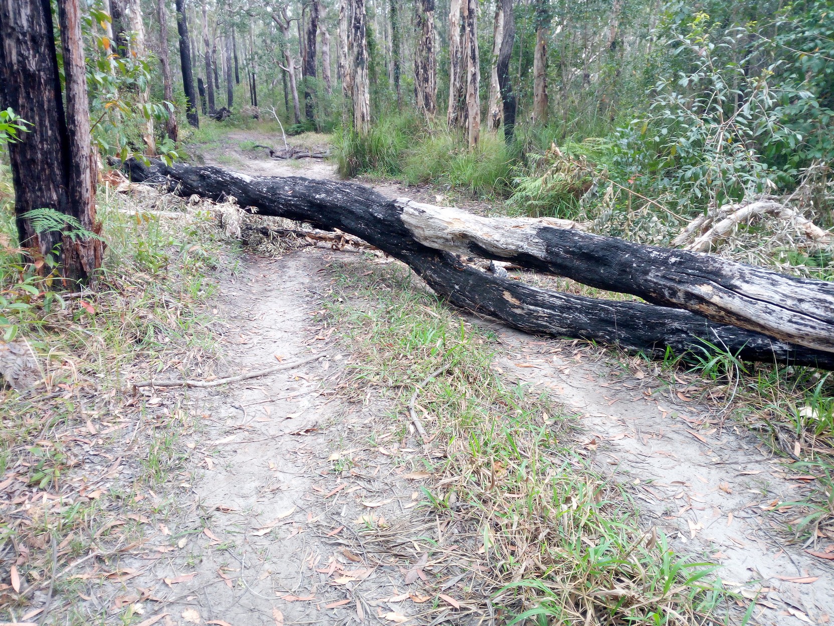
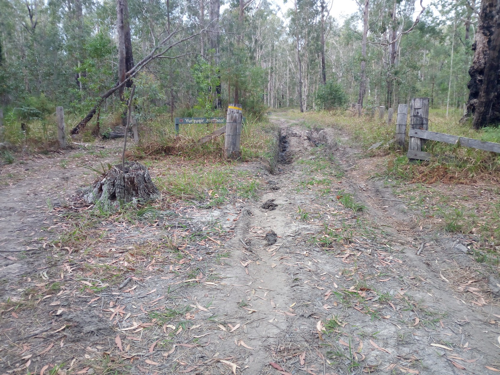
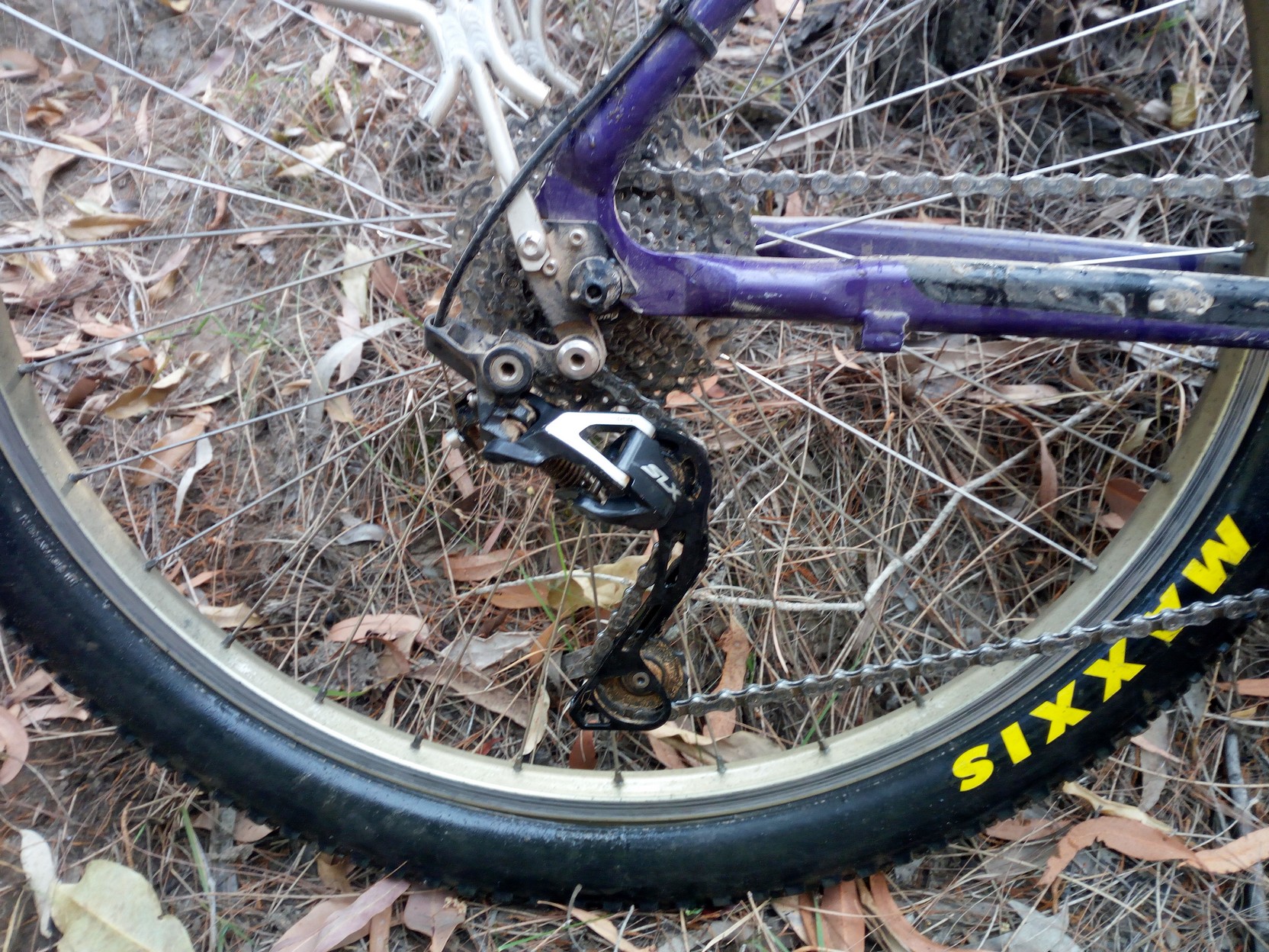
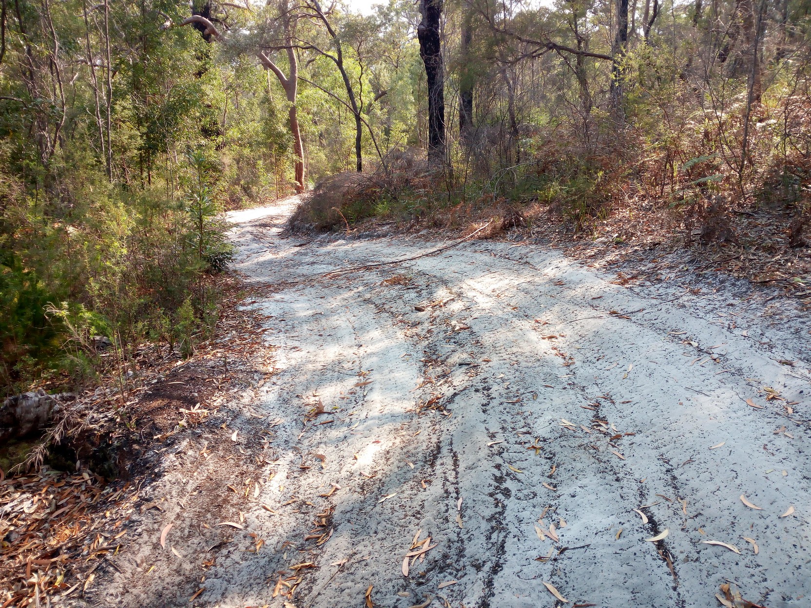
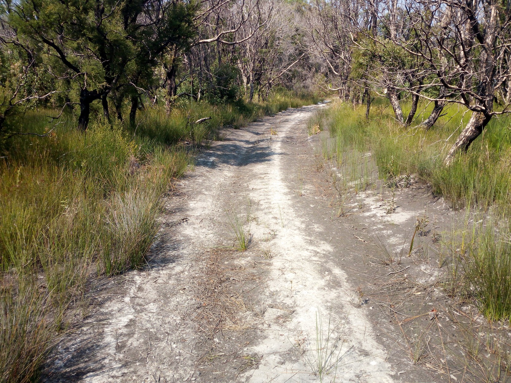
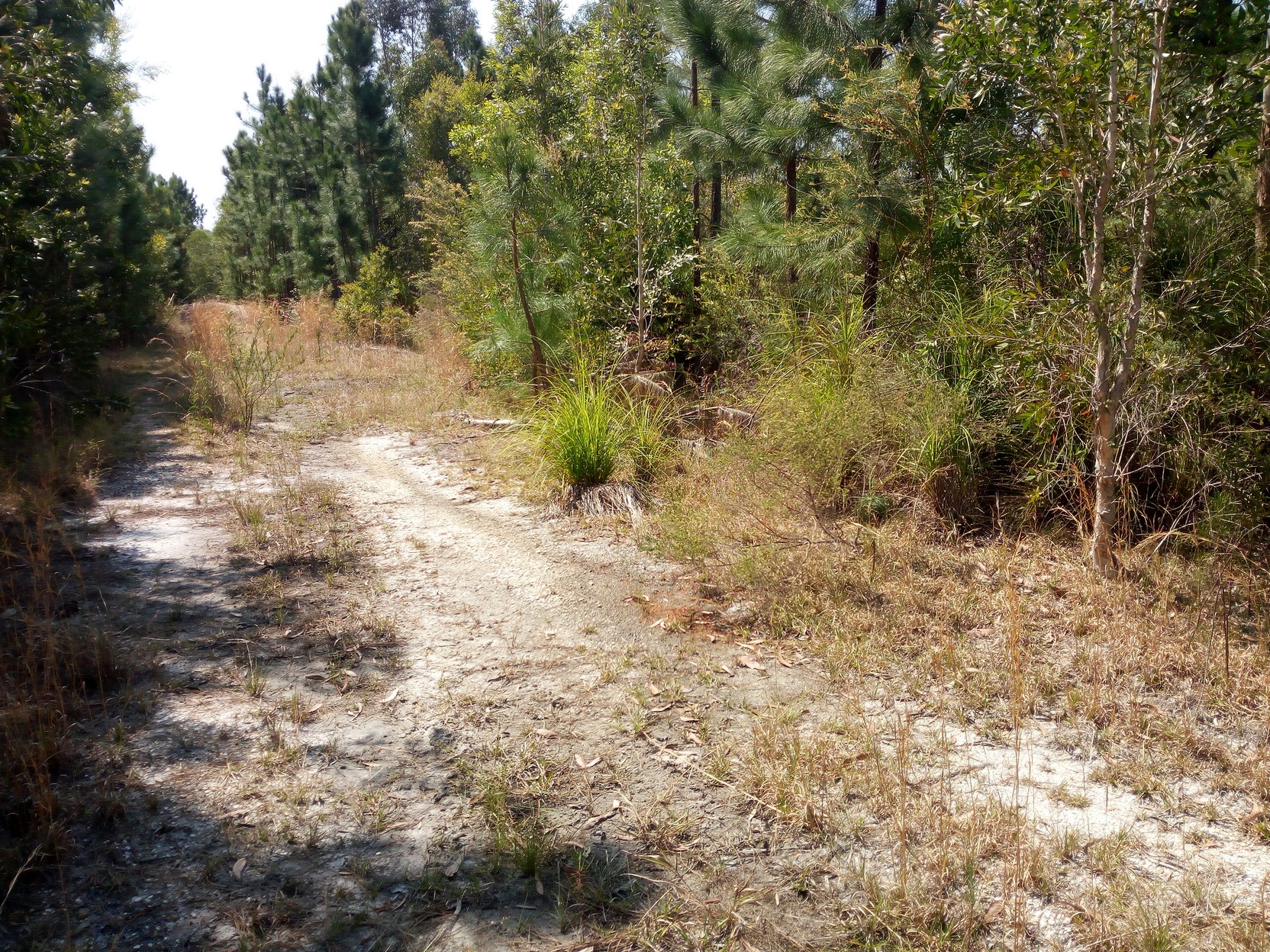
Wooli Road to Pebbly BeachIn the morning everywhere I had exposed during the night (to keep myself from overheating in the tent) has little red areas, from the midges. Although I didn't get much sleep, I don't want to hang around and get bitten any more. I pack quickly and I'm on my way by 6:40 AM (over an hour later than I should have started). I still have apples, an orange and those muesli bars - certainly enough to keep me from getting hungry. There's just a short section of Wooli Road eastwards before turning south east onto Colletts Crossing Road on the way to Pebbly Beach. I'm reminded I'm continuing through Yuraygir National Park (which extends from north of Wooloweyah near Yamba to north of Corindi - a direct distance of over 62km, and a day's cycling on this track I'm following). The track is fast and flat (unlike Candole Forest Road yesterday afternoon) with the occasional rocky crossing and even a bit of water across the road to remind you this is a low lying area. Of course there are bicycle hazards and I decide to photograph one of the many cases of a small stick getting stuck in my chain. There's even a large fallen tree that no-one has yet removed from across the track.
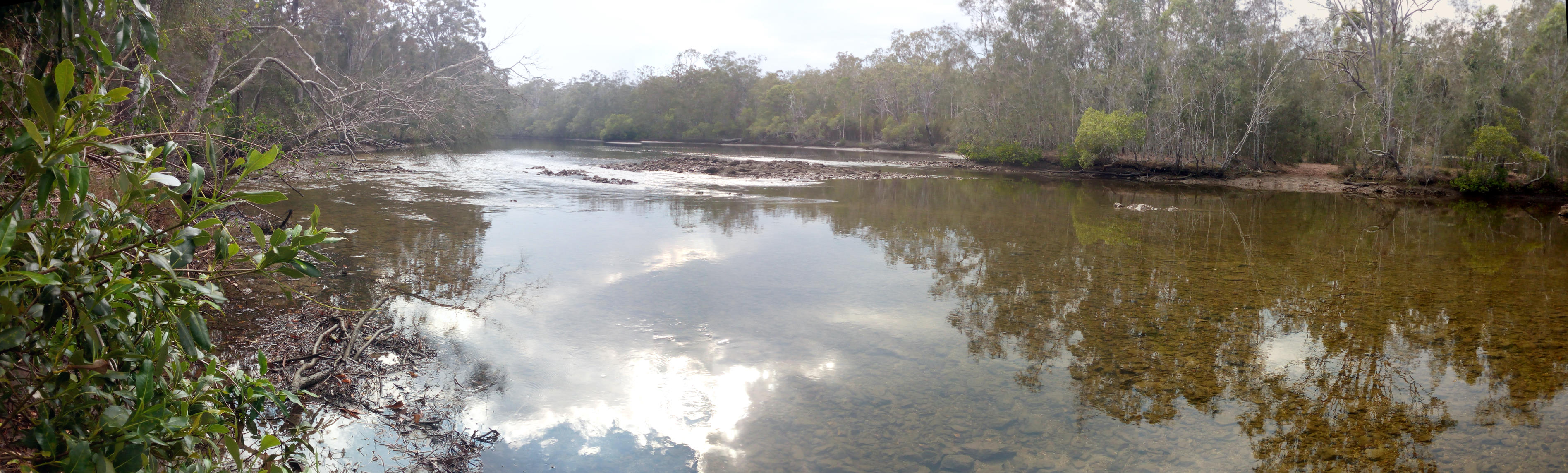
After less than an hour's cycling I arrive at the north bank of The Wolli Wooli River. At first it looks like a substantial crossing but it's pretty shallow and again, I wonder how deep this would be if it was a wet season? I wheel the bike across - lifting the front wheel through a narrow section to avoid water in the bottom bracket. The water is clear and there's the occasional fish. I later regret not testing the water for drinkability because it is very clear and moving (although this area could still be tidal). The track I'm following seems to have a small glitch on the norther approach to the river, and perhaps it's even shallower a few meters downstream (there are more rocks and it's wider, but I didn't test the depth there).
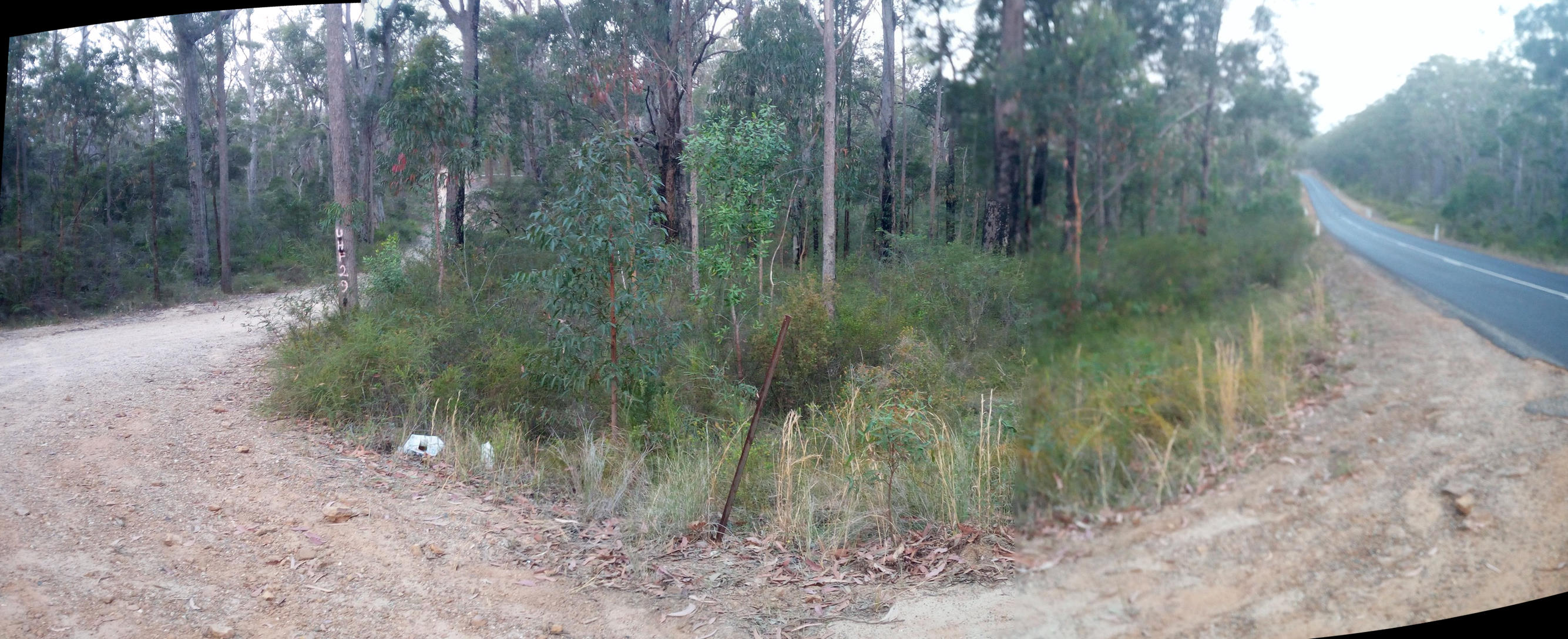
The composite image at the head of this page shows the panorama at the other side of the river. After the crossing, for a short time, my wheels will be less dusty. In a wetter year there's probably mud to be found in the next few km.
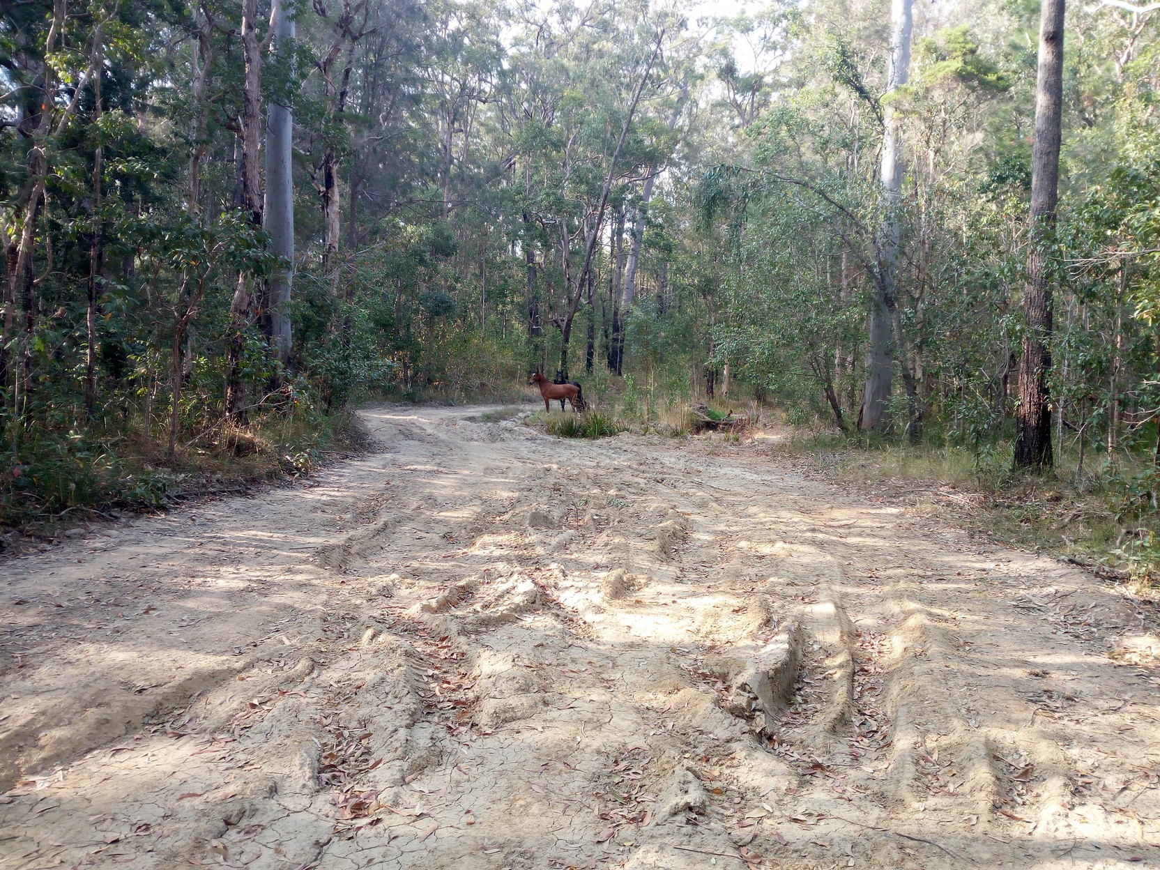
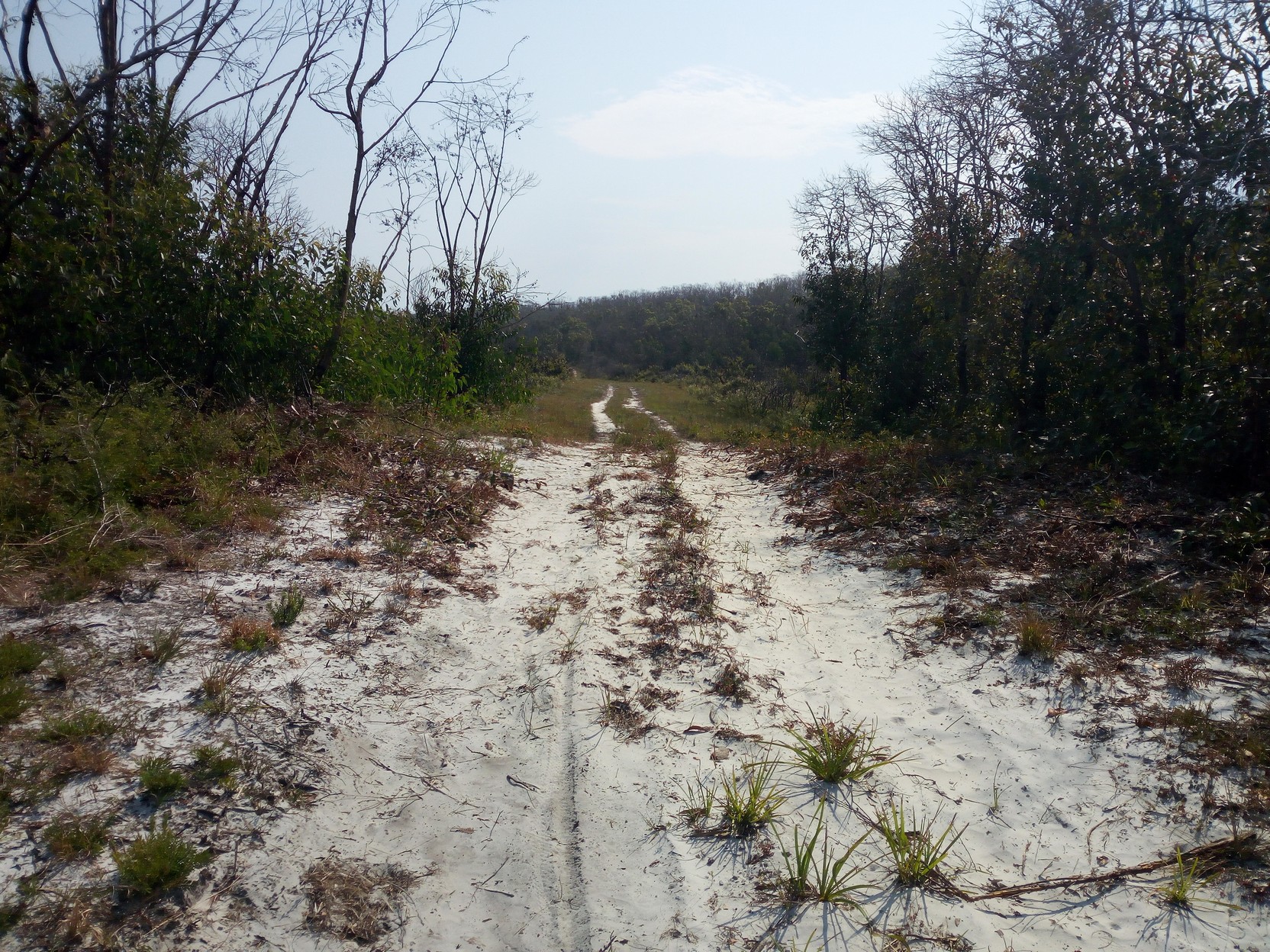
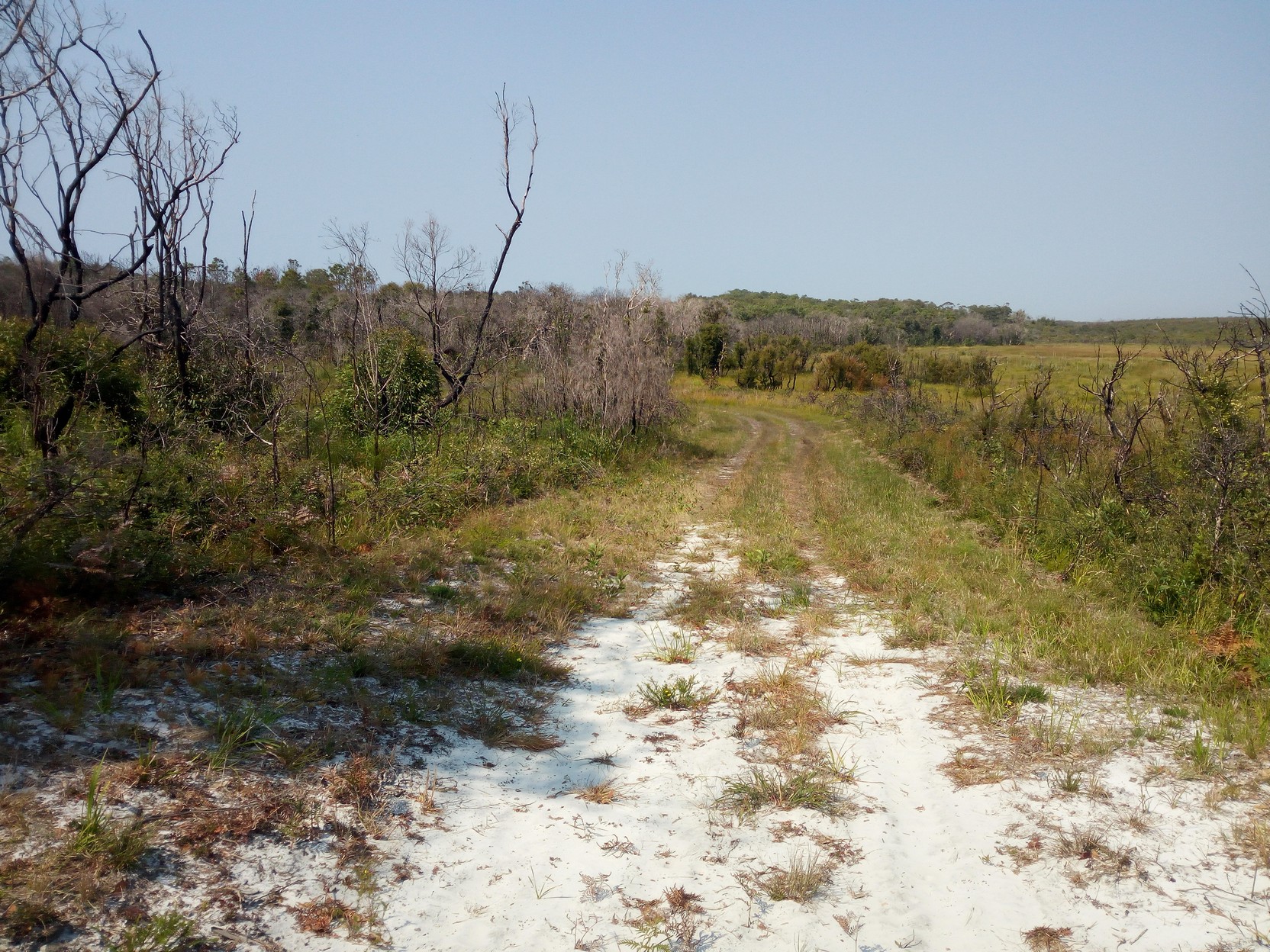
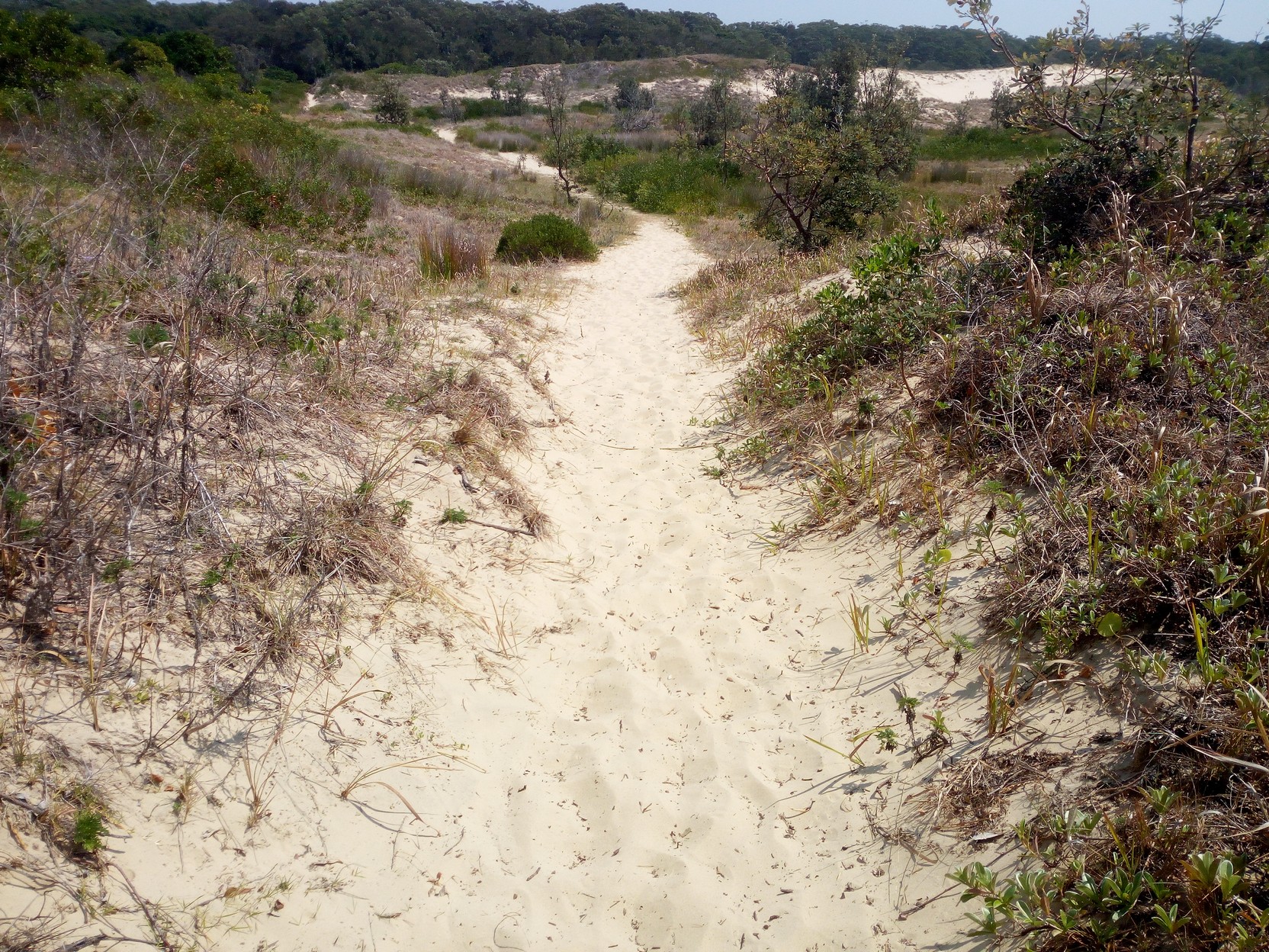
I keep cycling and later I realise I'm skirting Cabbage Tree Mountain (barely 200 m tall, is it really a mountain?). Just before 8:40 AM I head down an unnamed steep track (from Cabbage Tree Road) to the north south Powerline Trail and the start of Franklin's Boundary Trail that leads to the Pebbly Beach camping area. I surprise a mixed group who have stopped by their three 4x4 vehicles (one is taking a piss behind the rear vehicle which is still running - he doesn't hear me until I cycle past and say "G'day" - he's not too concerned! The vehicles are pointed north under the power lines. I cycle north a few metres until I realise I should be travelling east. I must have exuded some kind of authority because the group of 4x4 travellers ask me if there are any locked gates ahead of them. I reply that all I know is that there are some locked gates where I've come from. When they ask me what that track was like I say "steep", pause and look at their vehicles, then say, "but your 4x4s should be fine". What I'm thinking is that their vehicles will be fine, but whether they can control them is another matter - I'm very wary of shiny, newish looking, 4x4s driven by what look like city folk. I figure anything with scratches along the side from travelling down bush tracks is direct evidence of ability, whereas shine is evidence of denying that off-roading is inherently hard on a vehicle's exterior. So I'm off travelling east along Franklin's Boundary Trail after wasting time turning on my phone's data and GPS and checking that I'm where I think I am - I mean, I know I'm on the trail that I'm supposed to be - where that is exactly doesn't really enter into it until someone else asks for directions! Franklin's Boundary Trail (now I've said it three times) is one of the hardest sections I've encountered on this trip. It goes from 70 m to 120 m (50 m gain) in about 400 m, but it's that the sand is ridiculously deep and soft that is the issue...
For some strange reason I don't seem to have any photos of this steep and sandy track (I thought I had, but maybe I was hallucinating?) - but I do have these photos travelling along and down the ridge line towards Pebbly Beach. Much of the ridge road is strewn with bark and leaves and these firm the surface quite dramatically. Despite this there are steep sections and I come off over the handlebars onto very soft sand just once before I reach the end of the trail to Pebbly Beach where I celebrate with a 360 degree panorama. It has taken me almost an hour to travel the 5 km - the first two km must have taken me at least 40 minutes - It's now 9:45 AM as I make my way slowly pushing the bike through the very soft and hot beach sand!
150 degrees of my 360 degree panorama exiting the Management Trail onto the Pebbly Beach camping area at about 9:40 AM. (the other 210 degrees includes campers involved in their own camping activities. 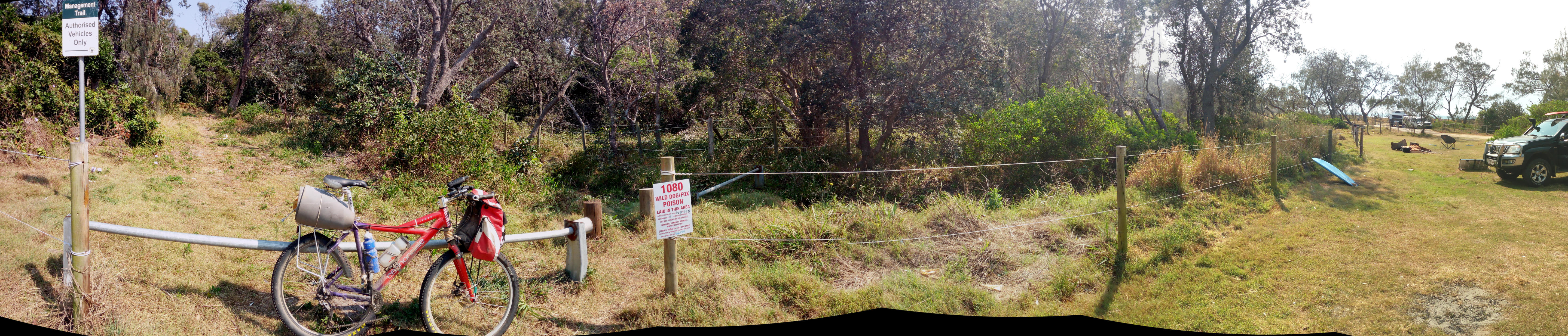
|
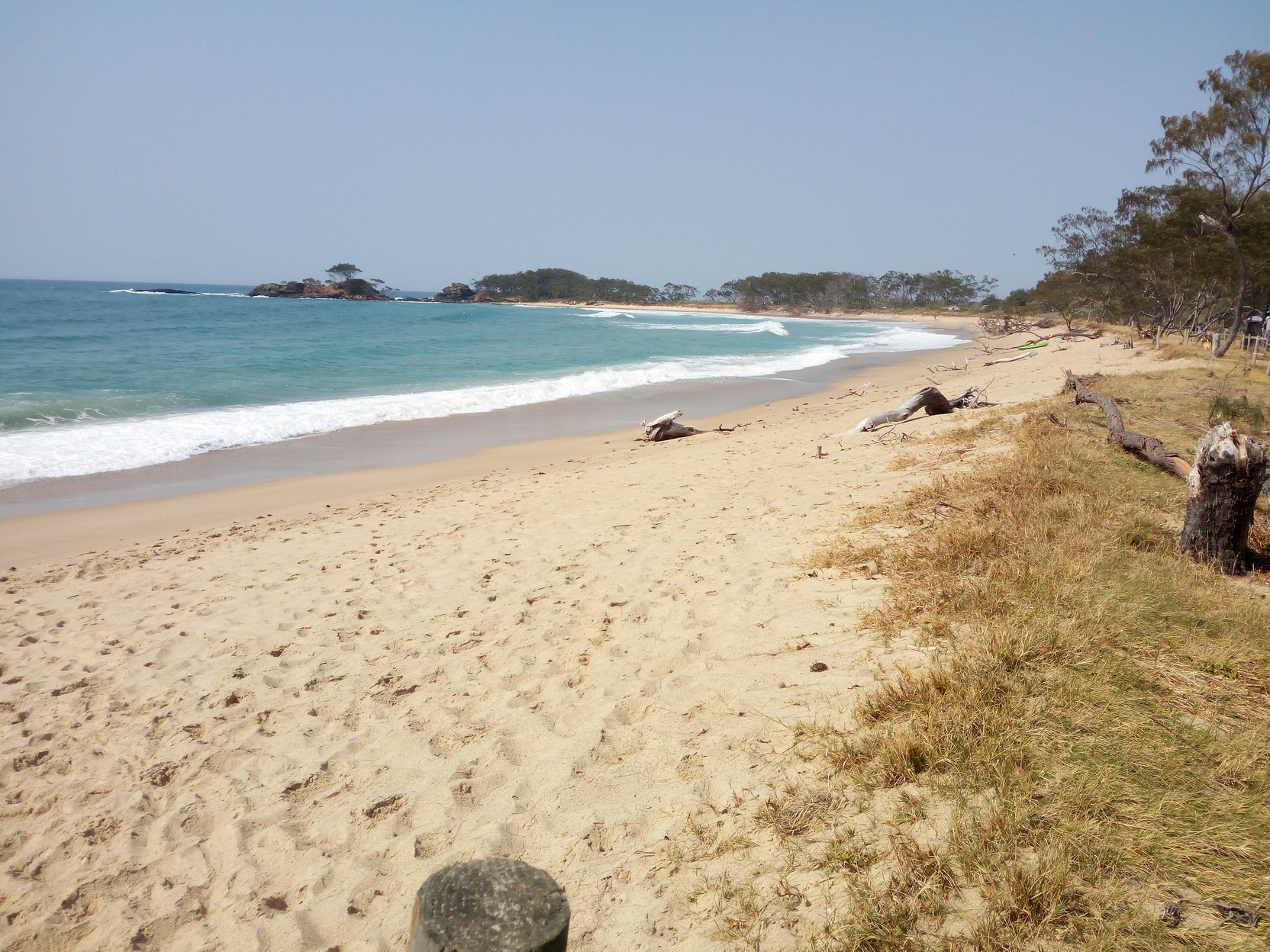
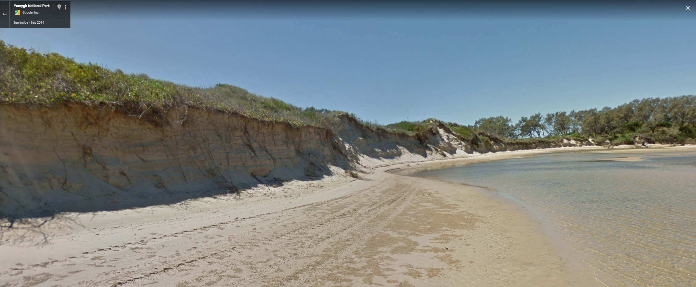
By 10:00 AM on Sunday it was getting very hot, particularly standing on the beach sand. I've never understood the logic of going to the beach when it's hot. But here I was trudging through the sand and where possible cycling on the little pieces of grassy track. I followed my GPS track to the northern side of Station Creek. I continued pushing the bike along a very narrow strip of "beach" (following the GPS track) - but the tide was coming in rapidly and the north bank did not have the nice wide track as show in the third/rightmost photo below (from Google maps) - it was just wide enough for me to push the bike without getting my feet wet but the channel beside me was fairly deep and I wasn't going to be able to get further around where the river flow had eaten into the northern bank. I could see several people further downstream fording the creek with water just above their knees and knew that if I hurried I'd be able to carry the bike over the creek on my shoulders (if I hurried).
I had to backtrack with the bike and take it to the beach and then onto the river's northern edge so as to avoid the northern bank erosion. By this time I had a couple who wanted to help me - I was quite happy and capable of carrying the bike and my gear over in two goes myself. I quickly took the fairly bulky tent and sleeping bag from my rear rack and waded across - the water was getting up to my crotch by this stage and I hurried back. The guy insisted that he help me so I took the front of the bike on my shoulders and Joel took the rear in his hands. I thanked him at the other side and he offered water from his supply in his ute that was parked a hundred metres away (the tide was too high for his ute, so he was waiting for low tide later that afternoon).
|
|
|
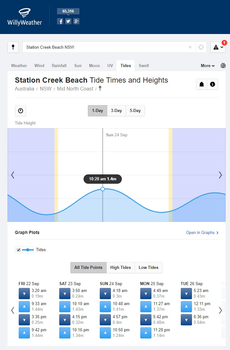
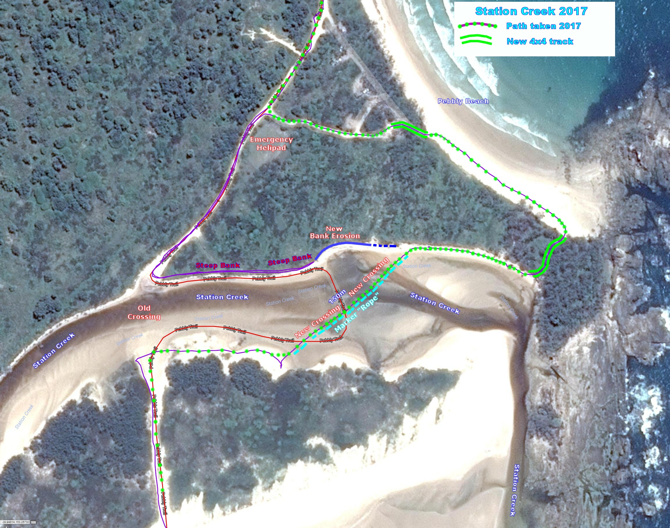
The first image below shows the track I was following in red, and my actual track in purple. It's just not possible to take the red route unless it's low tide. The tide chart (see second image above) for Sunday 24 Sept. 2017 shows that I waded across with the bike almost at the highest tide (1.24 m) for the daylight hours that day. Low tide (4:18 AM) was approximately 0.30 m and I estimate the deepest water I waded through was 0.9m (up to the top of my underpants). With high tide 0.94 m above low tide, I could expect Station Creek to be almost dry (-4 cm of water?) at low tide (and I could have cycled across!).
|
|
|
This is a panorama at the south bank once I'd put all my gear back on the bike and I'd filled up my water bottles. The third image above is the route south along the beach after the creek crossing.
The track south is firstly back to the beach and then a few hundred metres south there's a track over the beach dune as shown below - as it's a panorama, it doesn't quite show that the track off the beach is at right angles to the beach. This track was also very sandy and not cycleable with the conventional bicycle tyres I had.
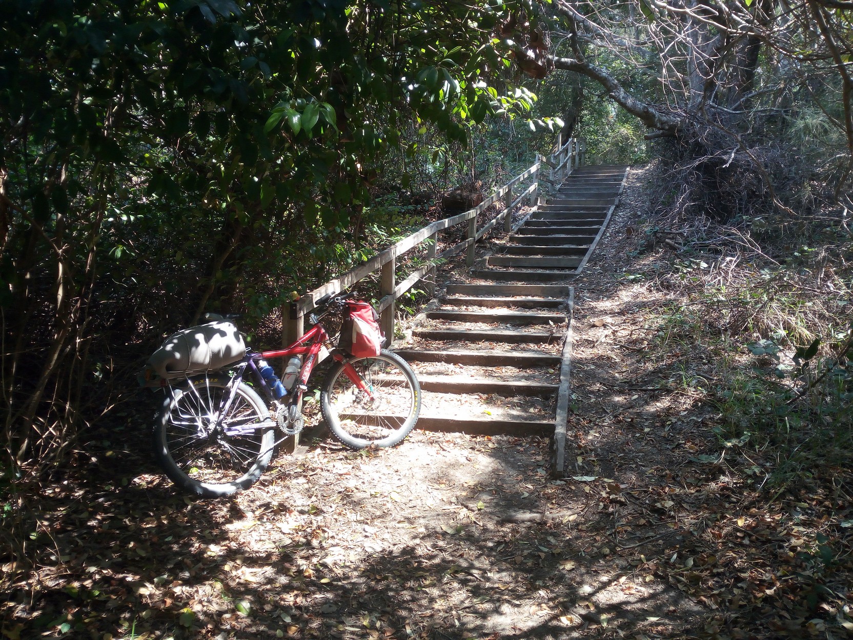
The track continues mostly westerly through a series of older beach dunes finally coming to some steps...
|
|
|
|
... and the car park for the Station Creek Camping Area.
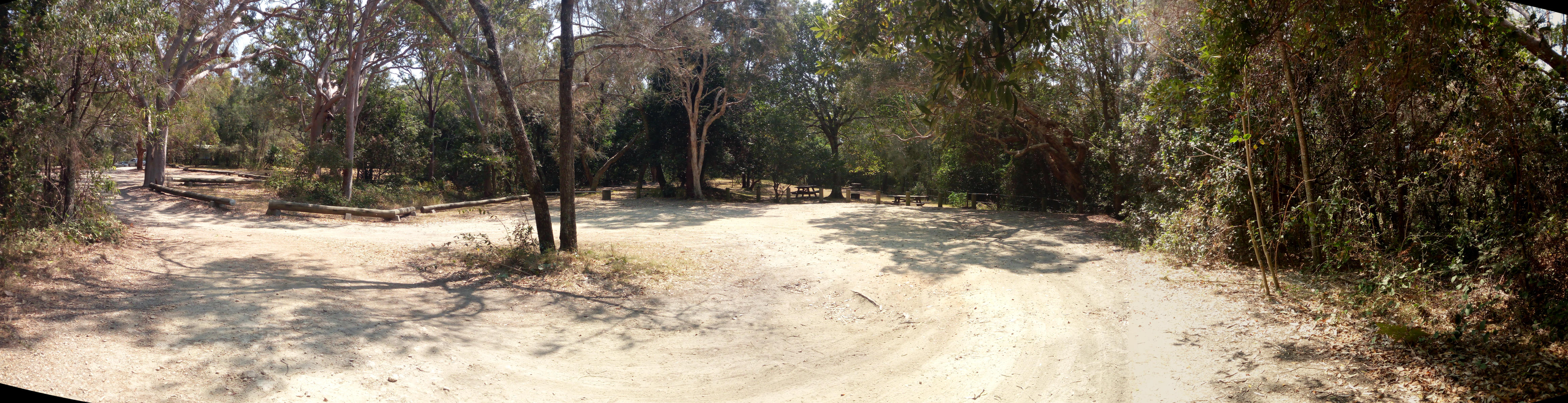
By the time I leave the camping area it's almost 11:20 AM. I pass some signs and a toilet block as I leave the camping area. Now I'm on the road eastwards towards the Bancoongere forest area. It's a reasonable road until I turn south and encounter some washouts...
|
|
|
|
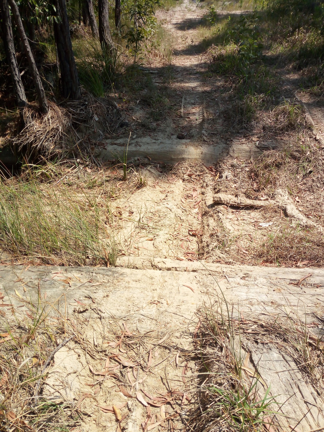
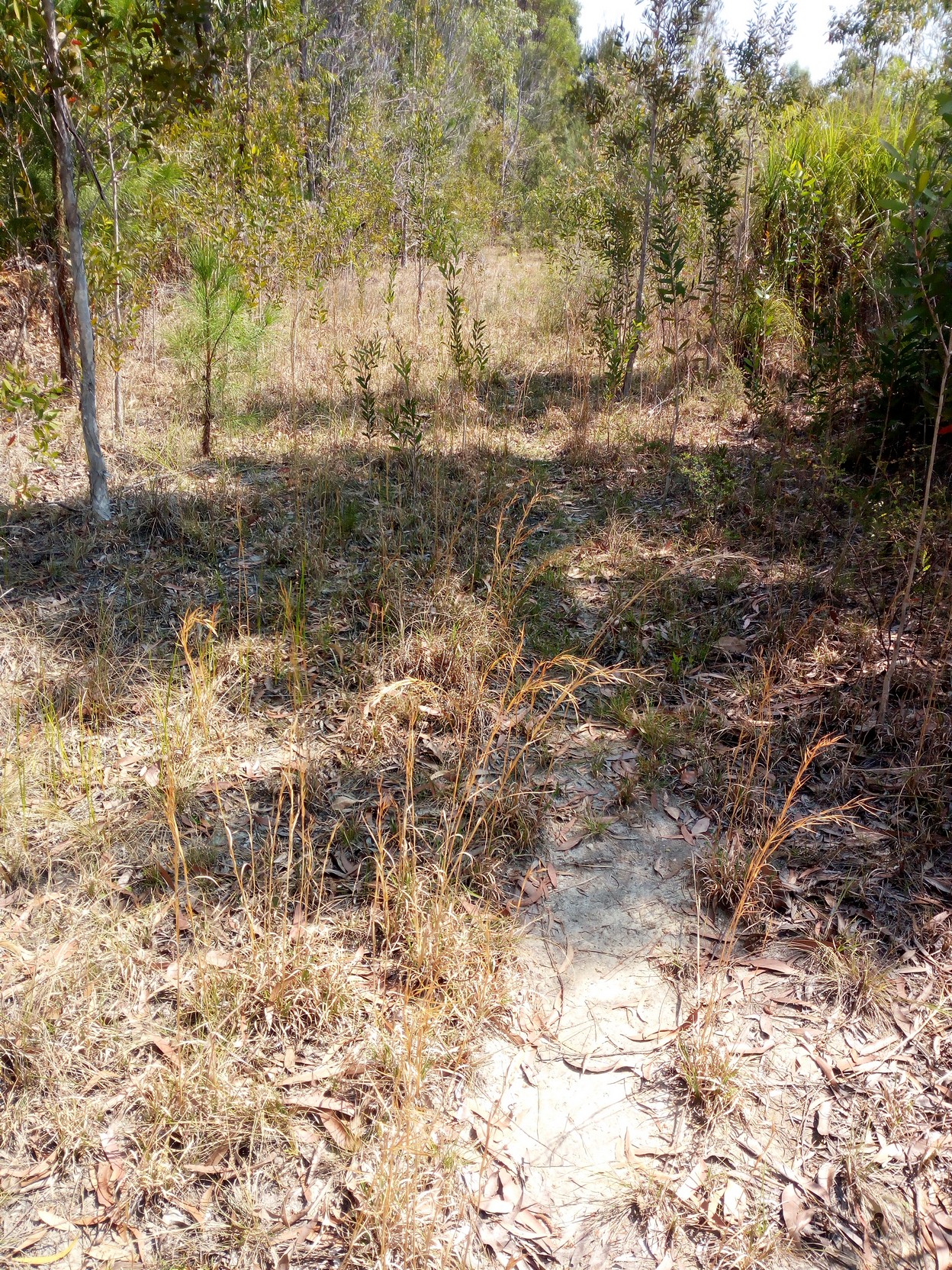
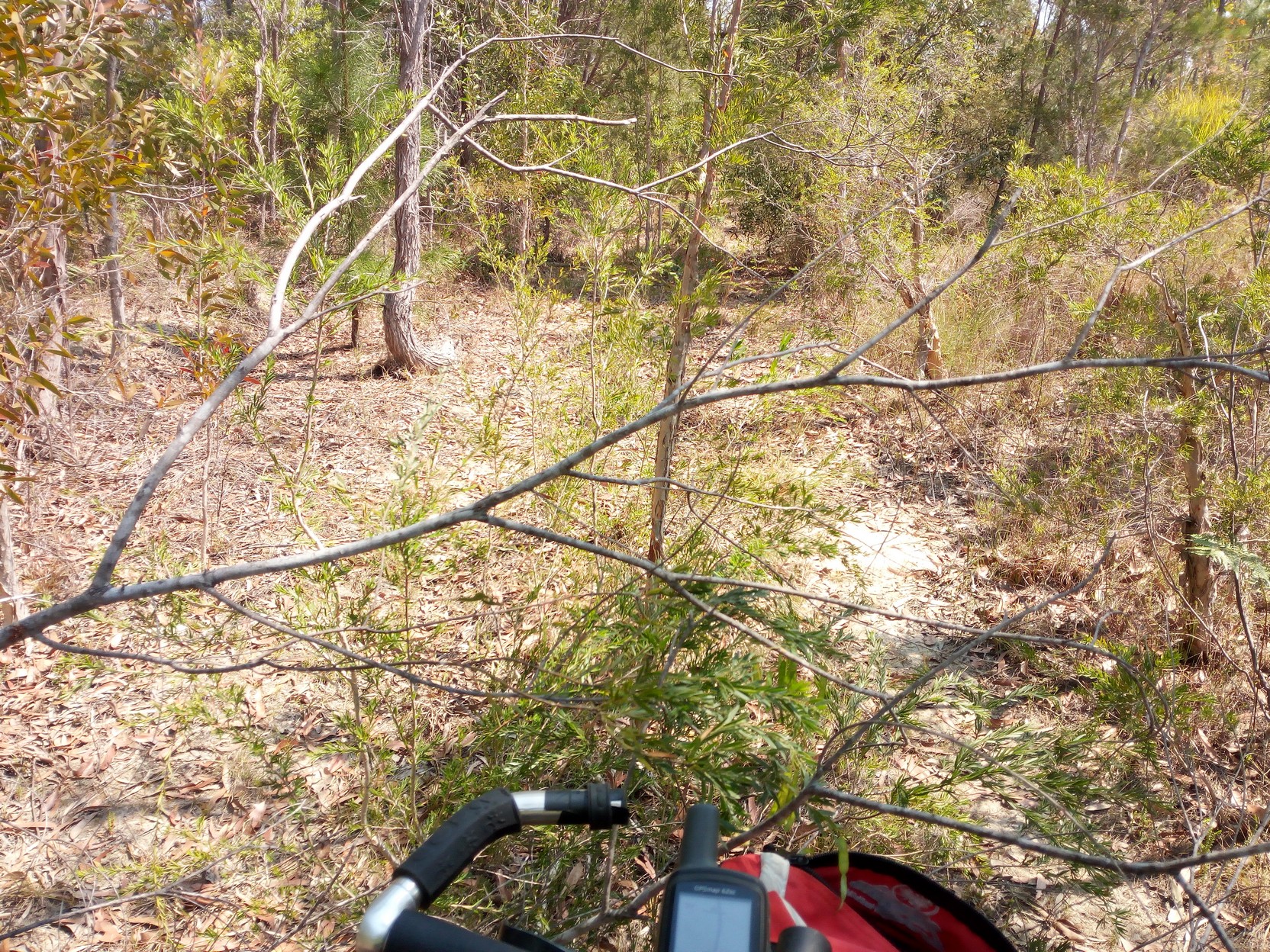
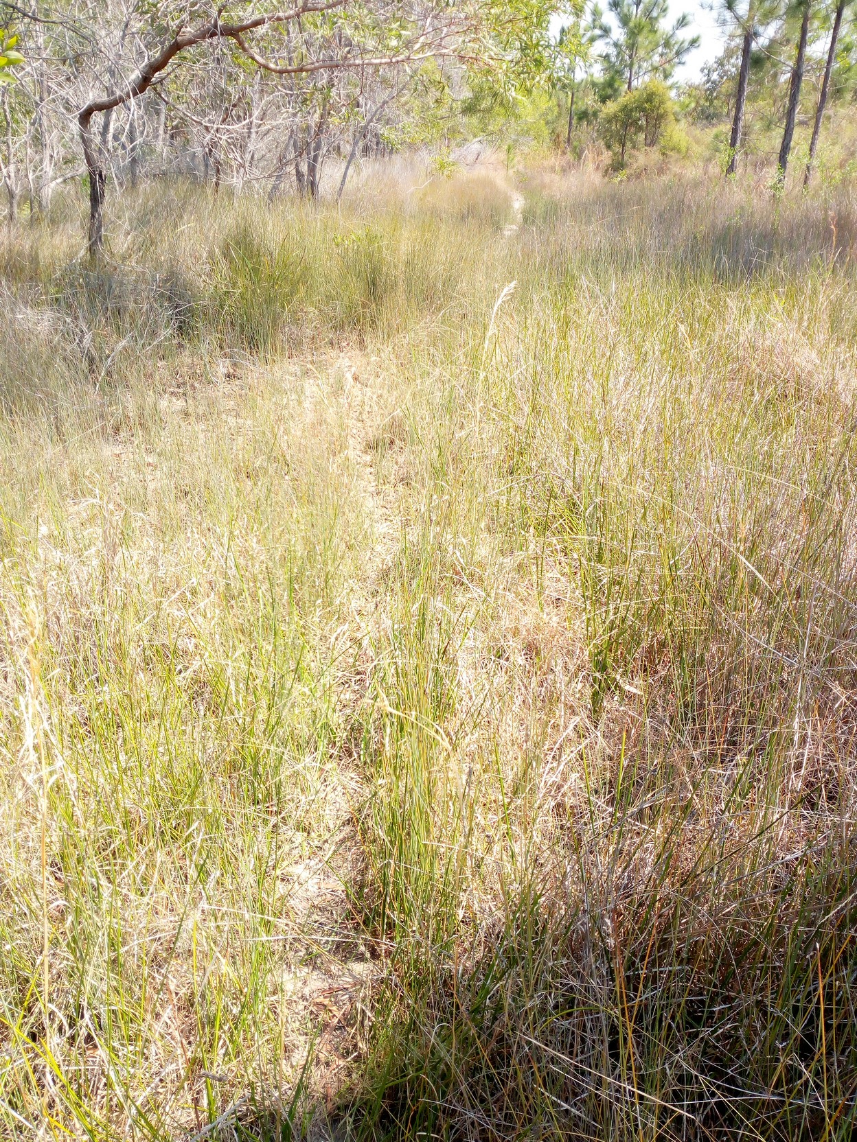
Turning west along one of the unnamed tracks on the GPS trail I'm following I come across some tracks that have not been used recently (perhaps for two or more years) and are quite overgrown. Then turning south onto another cross trail...
|
|
|
|
|
... I come across a barrier that has been bulldozed across to restrict access. Small pines have been cut down to further suggest access is not advisable. This is the area crossing Saltwater Creek southwards on Dirty Creek Road - this is surprising given that the road has a name. I'm on a mission so I continue irrespective. It's also very hot and now around midday...
|
|
|
|
...and it's only a fast 5 km to the Pacific Highway and this is where I call it quits for this part of my three day adventure. I'd previously updated my position to my wife and told her I'd be waiting for her to come and pick me up when she came through south from Currumbin. I still had an apple and lots of water and I was happy to have a rest just off the highway and waited to be picked up. If being picked up was not an option I'd simply cycle the 7 km to some food at Corindi and it would be just another relatively easy 49km to Coffs Harbour which I could just reach that day if I didn't dawdle.
So, summing up, I left Byron Bay at about 11:30 AM two days ago and I arrived 48:30 later (ie. two days and a half hour) almost 250 km along the GPS track with just an easy 60 km to Coffs Harbour to go. I found a couple of minor issues with the GPS route and had some fun on the way. With better planning I think many serious cyclists will complete the stage all the way to Coffs Harbour in two days, and certainly within three easy days.
My intention is to update this document with a writeup of the Dirty Creek to Coffs Harbour route when I have time to do the complete route in one day (leaving from Coffs and returning the same day - a around trip of over 100 km, to better simulate a "real" ride).
This link takes you back to the first page of this document (or the introduction).
Page last updated 13 October 2017 9:20PM.
This story (text and photos) is © Copyright Peter GARGANO, 2017.